What is recorded here
Ballyknockan Moat is a vast steep mound beside two rivers in County Carlow, built in the twelfth century according to Giraldus Cambrensis. Its deep ditch and outer bank still frame the grassy summit, while human skulls found nearby hint at the violent lives lived around it. The place remains a stark reminder that beauty and brutality often share the same soil.
The following description is derived from the published 'Archaeological Inventory of County Carlow' (Dublin: Stationery Office, 1993). In certain instances the entries have been revised and updated in the light of recent research.
Date of upload/revision: 17 July 2007
Monument No. HM00318, this monument was entered in the Register of Historic Monuments on the 03 February 1960. Very large steep-sided flat-topped mound (H above fosse base at N c. 10m; summit diam. 38-40m) surrounded by large deep fosse (base Wth c. 3.5m) with large external bank except at W (H above base at N 5.7m; at E 3.3m; at S 1.2m). Situated at S end of gravel ridge and junction of two rivers to take maximum advantage of natural topography. Gaps in the bank at N and S probably modern. According to Giraldus Cambrensis, constructed in twelfth century (OKR 1985, 187-8). Price mentions discovery of skulls outside fosse and bank at N (Notebook 28, 1966, 26-9).
Aerial photograph (GB89.W.22) shows 'Dinn Righ' or 'Ballyknockan moat'
Ballyknockan Moat is a 15th-century defensive structure associated with the Butler family, who were influential in the region during the medieval period. It is remembered as an example of early Irish moated sites, reflecting the changing nature of defensive architecture in the late Middle Ages.
The monument record does not grant public access. Check the route and ask the landowner before entering private land.
- What survives
- Recorded monument
Places near here
 Church, GraveyardChurch · 476 yd
 Burgage Househouse · 525 yd
 Enclosure in LeighlinbridgeEnclosure · 755 yd
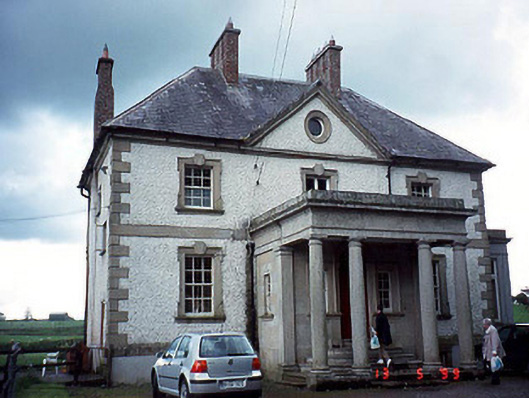 Glen Lodgehouse · 809 yd
 Turret (in ruins)Town defences · 857 yd
 Black Castle (in ruins)Castle, tower house · 917 yd
 Lock Keeper's House and Lodge MillsVisitor information · 1.8 mi
 Common LimeCommon Lime · 2.0 mi
 Sweet ChestnutSweet Chestnut · 2.0 mi
 The Columban WayVisitor information · 2.1 mi
 Dunleckny Ho.Castle, unclassified · 2.1 mi
 Church (in ruins), GraveyardChurch · 2.4 mi