What is recorded here
Ballyknock Castle stands as a ruined tower house on a prominent hillock in County Longford, overlooking the land in every direction. Built of rough limestone rubble with a massive base, it rose at least three storeys high before collapsing into ruin by 1636. The structure sits within a circular bawn that likely marks an older ringfort, suggesting generations of people watched the horizon from this same stone foundation. What remains is a skeleton of walls and fireplaces, waiting for imagination to fill the empty rooms with life.
On a prominent hillock affording extensive views in all directions. This castle is depicted on an early 17th-century map of Moydow barony (BL, Cotton MS Augustus I.ii.28). In 1636 the inquisition post mortem into the property of William McBryen Murtagh of Dowclone [Mosstown] lists one ruinous castle in the townland of Ballyknock (Anon. 1826, vol. 1, Inq. 17 Car 1). This tower house (ext. dims. 11.4m NE–SW; 9.3m NW–SE; wall T 2.3m) is constructed of roughly coursed limestone rubble; it has a massive base-batter. The structure was at least three storeys high and is featureless except for fireplaces in the SE and SW walls at ground-floor level. The doorway was probably in the NE wall, which has collapsed. The tower house is centrally located within a circular bawn (LF018-060002-), which is almost certainly constructed on the site of a pre-existing ringfort (LF018-060003-).
Compiled by: Patrick F. O'Donovan
Date of upload: 1 June 2012
Ballyknock Castle was built in the early 17th century, likely by a local Gaelic or Anglo-Irish lord associated with the Moydow barony. Its strategic location on a prominent hillock suggests it was important for defense and regional control during the early modern period in Ireland.
The monument record does not grant public access. Check the route and ask the landowner before entering private land.
- What survives
- Recorded monument
Places near here
 Bawn in BallyknockBawn · 1 yd
 Burial ground in AghnashinganBurial ground · 777 yd
 Church (Site of)Church · 788 yd
 Site of churchRuins · 800 yd
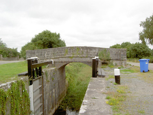 Coolnahinch Bridgebridge · 982 yd
 CastleCastle, unclassified · 1676 yd
 Corlea Bog Walk Blue LoopWalking route · 1.8 mi
 Corlea Bog Walk Canal BranchWalking route · 1.9 mi
 Corlea Trackway Interpretative CentreHeritage attraction · 1.9 mi
 Graveyard in Curry (ardagh By., Coolamber Ed)Graveyard · 3.5 mi
 White Sand WoodWood · 6.8 mi
 Wild birdsVisitor information · 7.0 mi