What is recorded here
Ballykeel Fort is a subcircular rath on a low Clare ridge, its thirty-seven metre circuit still marking the boundary of a farmstead abandoned long before cars or maps existed. The western ditch remains deep and clear, preserving the shape of the place even where modern ploughing cut through the southern bank. It is not a grand castle or a mysterious ruin, but a domestic enclosure that survived because the land kept repeating the same gesture: keep out what does not belong, and hold what does.
Ballykeel Fort is recorded as a archaeological place in County Clare. Its open map record supplies this location and any linked names or public references.
Places near here
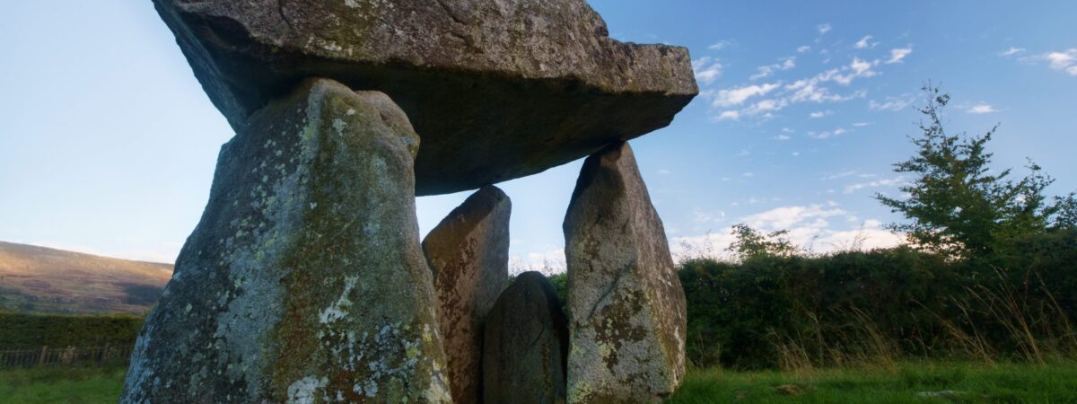 Ballykeel FortFairy fort / earthen ringfort · 3 yd
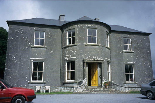 Ballykeel Housecountry house · 618 yd
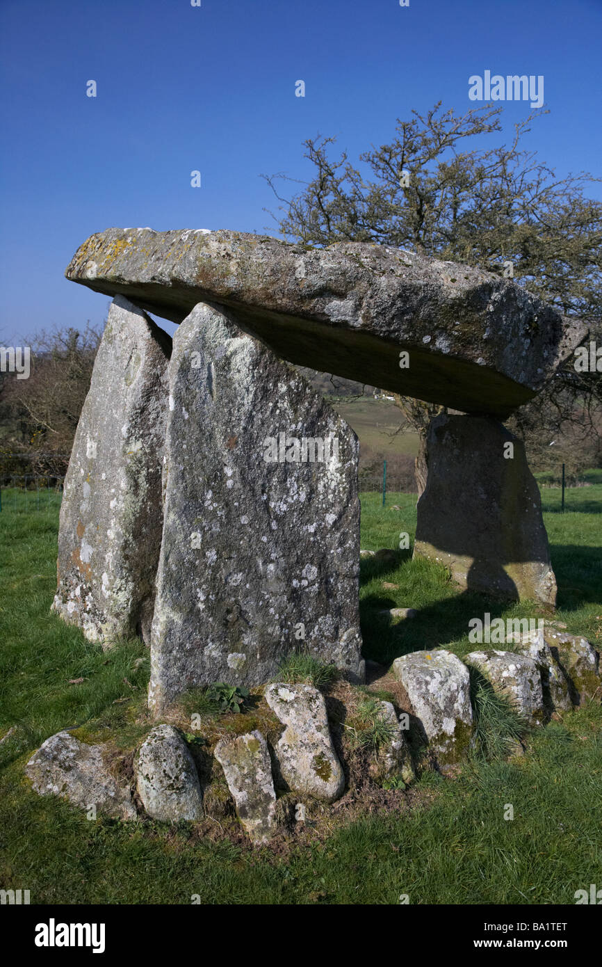 Enclosure in Ballykeel SouthEnclosure · 969 yd
 Ballyshanny Housefarm house · 1044 yd
 CashlaunawoggaCastle, tower house · 1505 yd
 High CrossHeritage attraction · 1630 yd
 Roughan Castle (Supposed Site of)Castle, unclassified · 1693 yd
 Burren Centre KilfenoraVisitor information · 1703 yd
 Ballyteigue Nature ReserveNature reserve · 2.3 mi
 Cahermacnaghten CashelHeritage attraction · 3.2 mi
 Cullaun 5 (C5b)Cave · 3.4 mi
 Cullaun 5 (C5)Cave · 3.6 mi