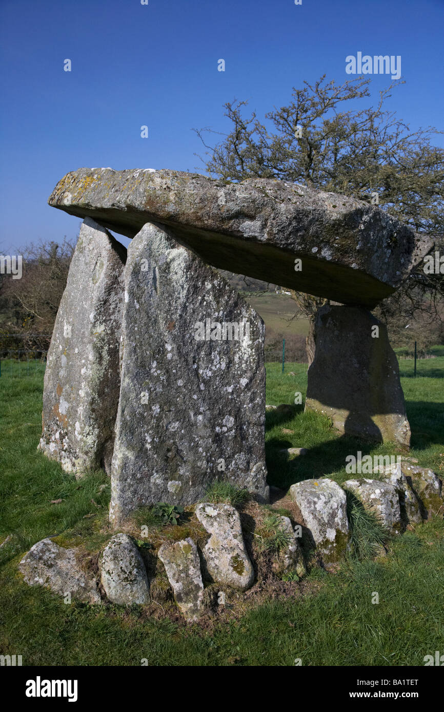
What is recorded here
In an area of pastureland, and the remains of a mixed tree plantation, on the flat summit of a low hill within a large multiperiod field system (CL009-059001-) and a local field system (CL009-249----). This subcircular enclosure (int. dims. 9.2m N-S; 6m E-W) came to light when the area was inspected in April 1998 to survey a standing stone (CL009-089----). The enclosure is overlain just S of centre by a later field wall (H 1.4m; Wth 0.7m). To the N of the wall it is defined by a low grassed-covered stony spread (Wth 3-5m; H 0.2-0.4m) that is denuded at E and W by a tractor track which crosses the site. There is a beech tree on it at NE. To the S of the wall it is defined by a low scarp (H 0.6m) with an earthfast stone block (L 1m) at SE. A depression (diam. 5m; D 1.5m) immediately outside it at NW may be the result of quarrying. A slab-lined burial (CL009-090001-) lies c. 176m to ESE.
Compiled by: Olive Alcock and Conn Herriott
Date of upload: 24 May 2022
The monument record does not grant public access. Check the route and ask the landowner before entering private land.
- What survives
- Recorded monument
Places near here
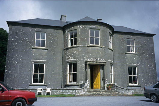 Ballykeel Housecountry house · 353 yd
 CashlaunawoggaCastle, tower house · 538 yd
 Ecclesiastical enclosure in KilfenoraEcclesiastical enclosure · 669 yd
 CrossCross, High cross · 686 yd
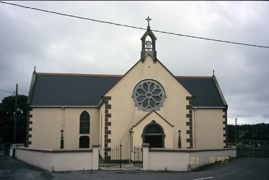 Saint Fachanan's Catholic Churchchurch/chapel · 718 yd
 High CrossHeritage attraction · 755 yd
 Burren Centre KilfenoraVisitor information · 820 yd
 Site of Fanta Cas.Castle, tower house · 1.1 mi
 Ballyteigue Nature ReserveNature reserve · 2.7 mi
 Cahermacnaghten CashelHeritage attraction · 3.7 mi
 Cullaun 5 (C5b)Cave · 4.0 mi
 Cullaun 5 (C5)Cave · 4.1 mi
Other information
Photo: Credit not shown in the picture search · Rights wording not checked; contact us if this picture should be removed