
What is recorded here
Ballyhenry Island sits inside Strangford Lough, the largest sea lough in the British Isles, where water widens into a green room for birds, boats and memory. The National Trust helps care for this coast, but the islet itself remains small enough to belong to whoever stands beside it at low tide. You can imagine people walking there to escape the noise of County Down, listening for herons instead of engines.
Ballyhenry Island is recorded as a islet in County Down. Its open map record supplies this location and any linked names or public references.
Places near here
 Lime KilnRural Industry · 1024 yd
 Audleystown WoodWood · 1445 yd
 Chapel IslandIslet · 1621 yd
 Audley's CastleHeritage attraction · 1623 yd
 TOWER-HOUSE AND BAWN: AUDLEY'S CASTLE in CastlewardTOWER-HOUSE AND BAWN: AUDLEY'S CASTLE · 1643 yd
 QUAY in CastlewardQUAY · 1665 yd
 CHURCH (in ruins) in Chapel IslandCHURCH (in ruins) · 1745 yd
 CHURCH; GRAVEYARD; ENCLOSURE: TEMPLECORMAC in AudleystownCHURCH; GRAVEYARD; ENCLOSURE: TEMPLECORMAC · 1.1 mi
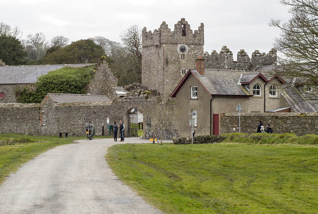 DESIGNED LANDSCAPE: CASTLE WARD in CastlewardDESIGNED LANDSCAPE: CASTLE WARD · 1.2 mi
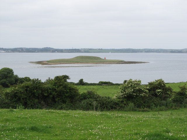 Jackdaw IslandIslet · 1.3 mi
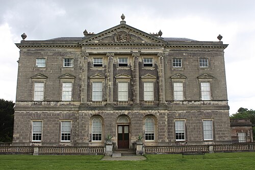 Castle WardCastle · 1.4 mi
 Cranes' CornerHeadland · 1.6 mi
Other information
Photo: Rossographer · CC BY-SA 2.0