What is recorded here
Ballyfermot Castle stood on a ridge beside its church until the early 1800s, when a tower house with opposite turrets and a battlemented gatehouse still dominated the horizon. It passed from Fitzwilliam to Barnewall hands across centuries, endured as a residence, became a school, then vanished without a visible stone. The absent castle is easier to imagine because memory has had time to build it into the shape of the place.
The site of the former castle at Ballyfermot is on the summit of a natural ridge at Le Fanu Park directly adjacent at the west to the church (DU018-031003) and graveyard (DU018031004). A drawing by Beranger in 1766 shows a tower with diagonally opposed turrets, lit by mullioned windows (Harbison 1998, 54-5). Ballyfermot manor was held by the Fitzwilliam family in the early 14th century later passing to Robert de Clahull in 1327. By the end of the 14th century the manor was held by Reginald Barnewall. In 1395 Reginald Butler was living there and in 1451 John Barnewall was in residence. It was occupied until the late 16th century when it went into decline. In the 18th century it was used as a school (Mc Dix 1898, Dec 1st, 168, 177). It stood until the early 19th century as a sketch by Wakeman shows an impressive building with a gatehouse and battlemented parapet (Ball 1906, 1001-105). There are no visible remains.
Compiled by Geraldine Stout
Uploated 13/06/16
Ballyfermot Castle was likely built in the 17th century by the Blake family, who were prominent landowners in the area. The site is remembered for its historical association with early Irish settlement patterns and its location within a significant local landmark, Le Fanu Park.
This remains an important historical record, but the official description says the monument is no longer visible or has been destroyed. The monument record does not grant public access. Check the route and ask the landowner before entering private land.
- What survives
- No visible remains or recorded as destroyed
Places near here
 Church in ruins, Grave yd.Church · 25 yd
 Church of Our Lady of the Assumptionchurch/chapel · 702 yd
 Town defences in Unknown TownlandTown defences · 1555 yd
 Graveyard in Unknown TownlandGraveyard · 1682 yd
 Burial ground in Unknown TownlandBurial ground · 1705 yd
 Carriglea Industrial EstateMemorial · 1.0 mi
 Oldtown WoodWood · 1.6 mi
 Toni'sPicnic place · 1.7 mi
 Mote (site of)Castle, motte · 1.8 mi
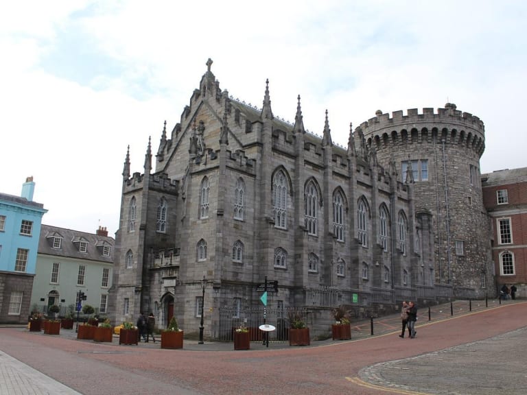 CastleCastle, unclassified · 1.9 mi
 Islandbridge LodgeVisitor information · 1.9 mi
 Kilmainham Jail MuseumMuseum · 1.9 mi