
What is recorded here
Situated on SW facing slope of poorly drained land. Large circular enclosure visible on Bing Maps aerial photograph taken between November 2011 and March 2012. High grass growth at time of inspection obscured evidence of enclosure which was barely visible as a low circular rise of ground.
Compiled by: Caimin O’Brien
Date of upload: 6 October 2015
The monument record does not grant public access. Check the route and ask the landowner before entering private land.
- What survives
- Recorded monument
Places near here
 Menamny Fairy FortFairy fort / earthen ringfort · 229 yd
 Ballyederlan Raised Fairy FortFairy fort / earthen ringfort · 370 yd
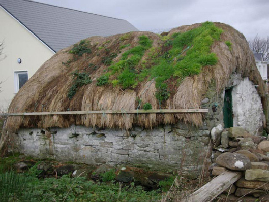 outbuildingoutbuilding · 621 yd
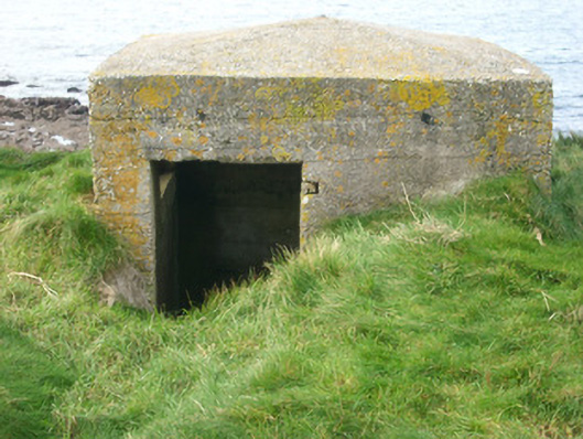 watch tower, pill boxwatch tower, pill box · 1376 yd
 Bawn in Rahan NearBawn · 1381 yd
 Killaghtee Old Church GraveyardGraveyard · 1.3 mi
 GinkgoGinkgo · 1.7 mi
 Wych ElmWych Elm · 2.1 mi
 Carntullagh HeadHeadland · 2.6 mi
 Rotten IslandIslet · 2.7 mi
 Rashenny PointHeadland · 2.7 mi
 Cat CastleCastle, tower house · 3.1 mi
Other information
Photo: Credit not shown in the picture search · Rights wording not checked; contact us if this picture should be removed