What is recorded here
Ruined, late 18th/early 19th century 2-storey U-shaped house. Roof collapsed, formerly hipped at front; to rear, easterly projection gabled, westerly hipped. Entrance front (S) of 3 bays; central door, with elliptical fanlight supported by engaged Doric columns. Central gabled addition to rear making plan rectangular.
The above description is derived from the published 'Archaeological Inventory of County Cork. Volume 2: East and South Cork' (Dublin: Stationery Office, 1994). In certain instances the entries have been revised and updated in the light of recent research.
Date of upload/revision: 14 January 2009
The monument record does not grant public access. Check the route and ask the landowner before entering private land.
- What survives
- Recorded monument
Places near here
 Mound in BallyedekinMound · 348 yd
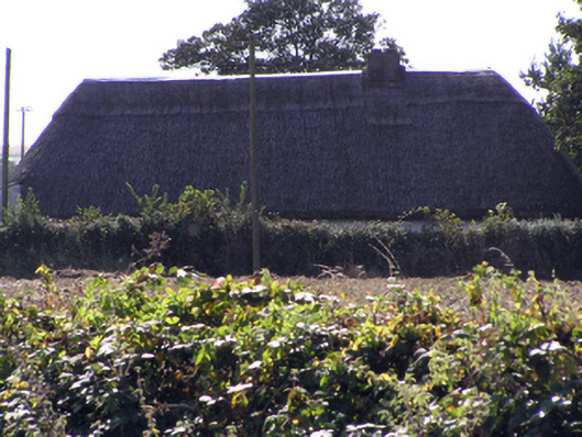 house, STUMPHILLhouse · 642 yd
 Indicated, StumphillHouse, vernacular house · 664 yd
 Ballintotis CastleCastle · 895 yd
 Ballintotis Castle (in Ruins), BallintotisCastle, tower house · 896 yd
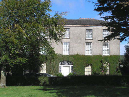 Stump Hill, STUMPHILLhouse · 1183 yd
 N25 Picnic SitePicnic place · 1562 yd
 Pigeon WoodWood · 1.7 mi
 William Heffernan MemorialMemorial · 2.4 mi
 Mitchell's WoodWood · 2.4 mi
 WW1 MonumentMemorial · 2.6 mi
 Noel Collins BridgeVisitor information · 2.9 mi
Other information
Photo: Credit not shown in the picture search · Rights wording not checked; contact us if this picture should be removed