What is recorded here
Ballyclogh Mills depicted on the 1840 ed. OSi 6-inch map may have been built on site of or incorporated fabric of medieval corn mill and tuck mill described in the 1654-56 Civil Survey of Limerick, which recorded that John Arthur of Limerick an Irish Papist was the owner of Ballynaclogh which contained a 'Corne Mill a tucking Mill, Six tatch Cabbins, and now a stone house [LI013-045----]' (Simington 1938, 478). Described by the National Inventory of Architectural Heritage (NIAH) as follows; 'Detached three-bay single-storey former mill, built c. 1820. Now in use as an outbuilding. Pitched and hipped artificial slate roof. This former mill complex is located at a bend in the road and forms a pleasing focal point in the area. The various alterations visible in the wall fabric add further interest' (www.buildingsofireland.ie; NIAH Reg. No. 21901340).
Compiled by: Caimin O'Brien
Date of upload: 26 November 2020
The monument record does not grant public access. Check the route and ask the landowner before entering private land.
- What survives
- Recorded monument
Places near here
 Ballyclogh Househouse · 671 yd
 Fulacht fia in DooradoyleFulacht fia · 728 yd
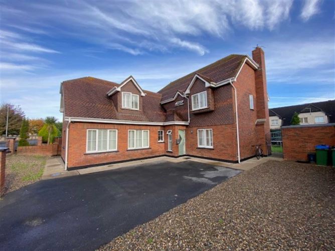 Enclosure in DooradoyleEnclosure · 763 yd
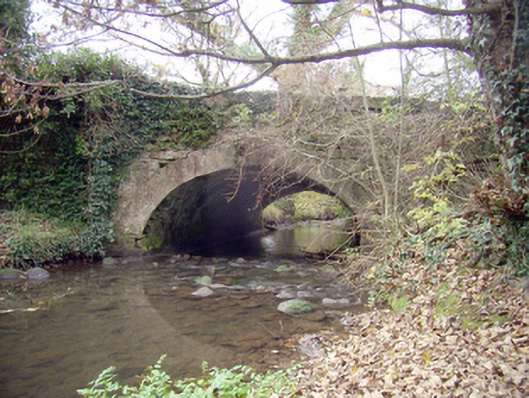 Roxborough Bridgebridge · 840 yd
 CastleCastle, unclassified · 1056 yd
 Castle (in ruins)Castle, tower house · 1.4 mi
 Fountain SculptureHeritage attraction · 4.0 mi
 Visitor CentreVisitor information · 4.0 mi
 Campus MapVisitor information · 4.0 mi
 Sailors HaggardMemorial · 5.4 mi
 Grass IslandIslet · 8.2 mi
 Maiden RockNamed rock · 8.5 mi