What is recorded here
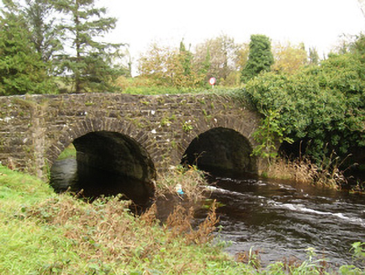
Triple-arch road bridge, built c. 1780, carrying road over the Ballintra River. Possibly containing earlier fabric. Segmental-headed arches having dressed stone voussoirs and squared rubble stone construction to the arch barrels. Squared dressed stone V-profile cutwaters to piers to east/south-east elevation (upstream). Rubble stone construction to spandrels, piers and parapets. Roughly dressed stone coping to parapets. Full-height V-profile rubble stone cutwater to the north end of the west elevation. Parapets extend to either end forming wing walls along road. Tarmacadam deck with vegetation to verges. Located at the south-west end of Main Street, Ballintra, at the entry to the town.
This attractive bridge retains its early form and character. Its continued survival and use stands as testament to the quality of its original construction, and of the skill of the masons involved. This utilitarian structure is enhanced by the dressed stone voussoirs and slender dressed stone cutwaters to the upstream side. This bridge was probably originally constructed during the second half of the eighteenth-century, a period which saw a great deal of road and bridge-building in Ireland, particularly by the Grand Juries (the forerunners of the County Councils). This bridge formerly carried the main Sligo to Derry Road mail coach road over the river, and there was probably a bridge here from a relatively early date. There is a bridge indicated here on the Taylor and Skinner ‘Maps of the Roads of Ireland (1777 – 1783) map of the local area. The large full-height cutwater to the north end of the bridge hints that it may contain earlier fabric. This bridge is an appealing landmark to the south-west end of Ballintra, and is an integral element of the built and engineering heritage of the local area.
This does not grant access. Most recorded buildings are privately owned; view them only from public ground unless the owner allows entry.
Places near here
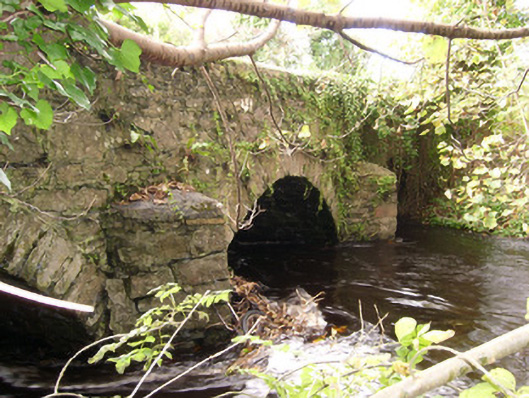 bridgebridge · 189 yd
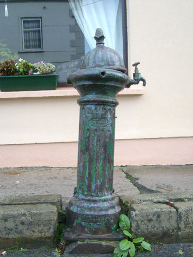 water pumpwater pump · 284 yd
 Ballynacarrick Stone EnclosureEnclosure · 416 yd
 Ballynacarrick Low Stone EnclosureEnclosure · 550 yd
 Castle (Site of)Castle, unclassified · 1432 yd
 MurvaghOfficial bathing water · 2.5 mi
 HawthornHawthorn · 2.7 mi
 Rooney's IslandIslet · 3.4 mi
 RossnowlaghOfficial bathing water · 3.8 mi
 Ballyboyle IslandIslet · 4.3 mi
 Ballyboyle Castle (Site of)Castle, tower house · 4.4 mi
 Wych ElmWych Elm · 4.8 mi
Other information
Photo: National Inventory of Architectural Heritage · Website use allowed for educational or private purposes with source credit