What is recorded here
Located at the summit of a low NE-SW ridge. Circular, grass-covered earthen mound with a flat summit (diam. of base 18.5m E-W; diam. of top 2.5m E-W; H 3.9-4.2m) defined by traces of a fosse (Wth of base 5-6.5m; D 0.05-0.1m) at E, and possibly at W (max. ext. diam. c. 30m E-W). The trivallate rath (RO006-153001-) is c. 100m to the WSW, and earthwork site (RO006-156----) is c. 90m to the S. Archaeological testing (02E0167) c. 140m to the NW failed to produce any related material (Read 2004k).
This is a National Monument in state ownership: No. 488
Compiled by: Michael Moore
Date of upload: 24 August 2010
The monument record does not grant public access. Check the route and ask the landowner before entering private land.
- What survives
- Recorded monument
Places near here
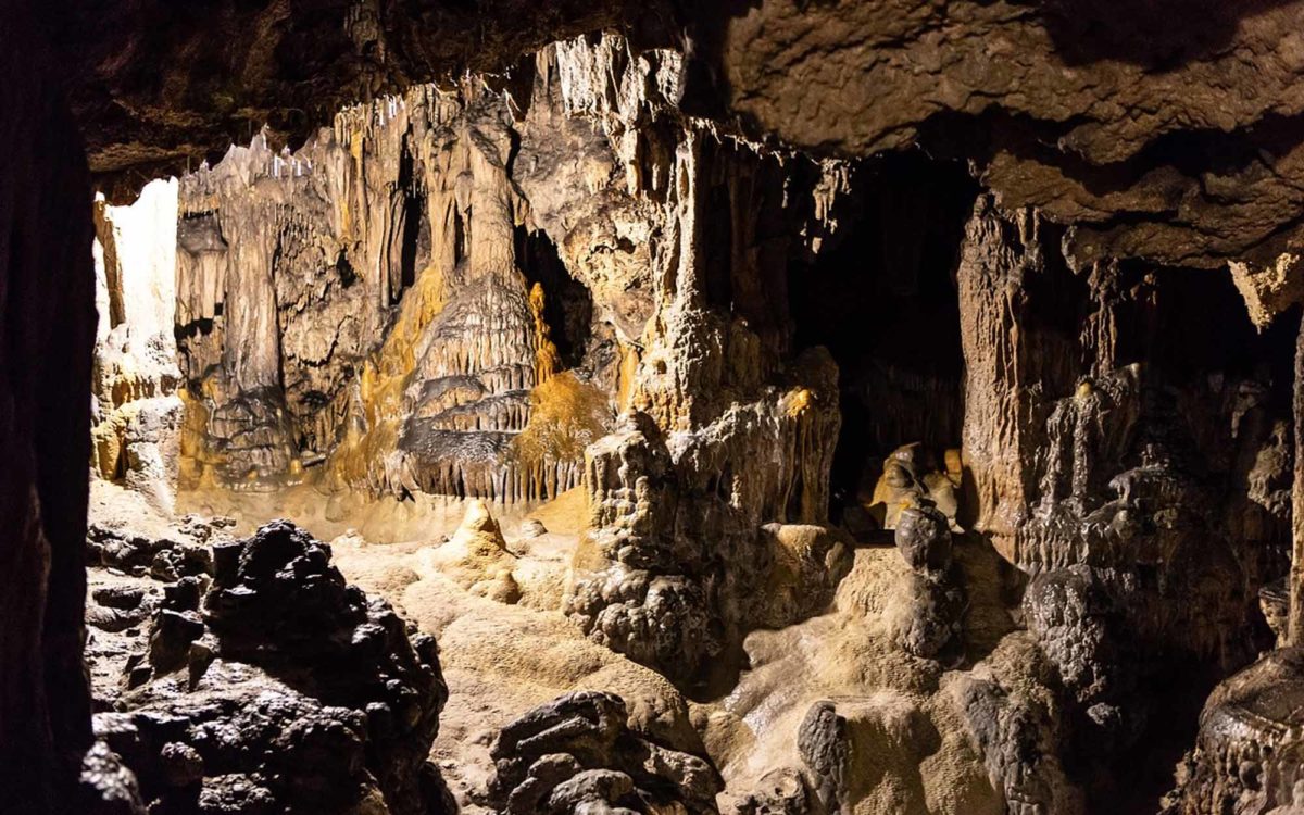 CaveMan-made underground passage · 152 yd
 IndicatedFairy fort / earthen ringfort · 243 yd
 Ancient RoadRoad, road/trackway · 329 yd
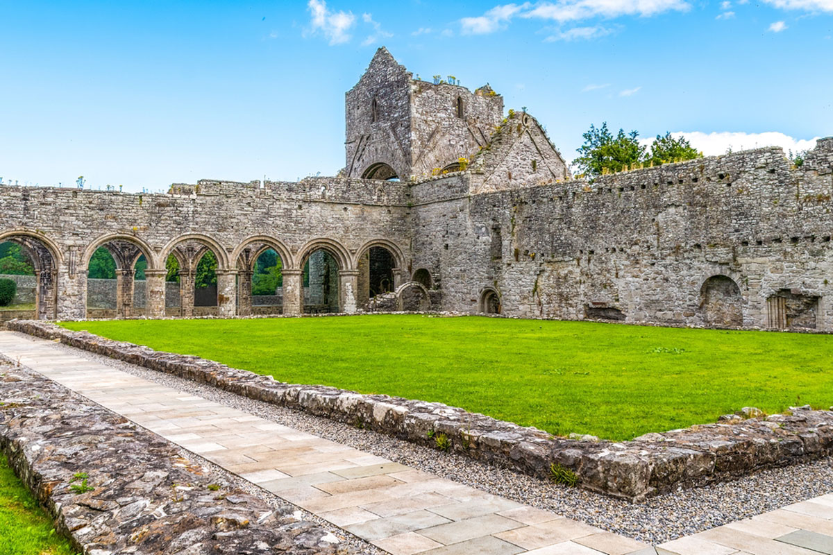 MonasteryReligious house, Augustinian, of Arrouaise nuns · 694 yd
 Longford HillMountain / peak · 1.6 mi
 Lough Key Forest ParkWood · 1.9 mi
 Horse-chestnutHorse-chestnut · 1.9 mi
 Western RedcedarWestern Redcedar · 2.0 mi
 Moylung Castle (in ruins)Castle, unclassified · 2.1 mi
 Castle IslandIslet · 2.2 mi
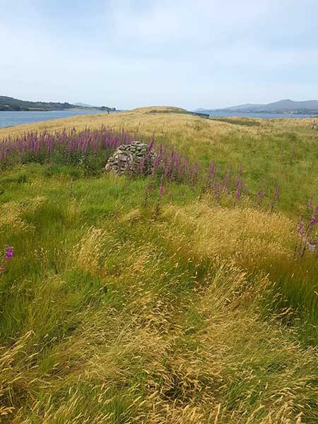 Drummans IslandIsland · 2.5 mi
 Erris BayBay · 2.6 mi