What is recorded here
Situated at the crest of the NW-facing slope of a N-S ridge. The parish church of Lisnakill (WA017-023001-) is within a rectangular graveyard (WA017-023002-) defined by a stone wall or stone-faced earthen bank, which was built since c. 1840 at the behest of a Mrs. Margaret Power, according to a plaque. A stoup, or possibly a bullaun stone (Power 1895b, 167-8), is now missing but a fragment of a twin-light, ogee-headed window is in the graveyard.
Power, Rev. P. (1895b) The ancient ruined churches of Waterford. WAJ. 1, 133-41, 152-72; 247-53.
Compiled by: Michael Moore
Date of upload: 05 January 2011
The monument record does not grant public access. Check the route and ask the landowner before entering private land.
- What survives
- Recorded monument
Places near here
 Chruch (in ruins)Church · 29 yd
 DolmenPortal tomb · 1014 yd
 Gaulstown Portal TombArchaeological place · 1027 yd
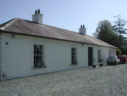 Pembrokestown Housecountry house · 1142 yd
 Mote or TumulusCastle, motte · 1181 yd
 IndicatedBawn · 1526 yd
 Sugar Loaf RockMountain / peak · 1.6 mi
 Mount Congreve GardensHeritage attraction · 1.9 mi
 Monterey CypressMonterey Cypress · 1.9 mi
 Sweet micheliaSweet michelia · 2.0 mi
 Waterford & Suir Valley RailwayHeritage attraction · 2.8 mi
 Ballyscanlon HillMountain / peak · 3.3 mi