What is recorded here
This was classified in the SMR (1987) and the RMP (1996) as an 'Font', however, this is actually a stoup which is a receptacle for holy water, originally positioned immediately inside the entrance doorway on one or other side. Described by Carrigan (1905, vol. 4, 120) as, 'a granite holy water font, with rectangular cavity 9 in. by 8 in. and 2½ in. deep'. Associated with Clonamery church (KK033-021001-), it is not incorporated in the walling of the church. It is currently located 0.3m outside the church, close to the N jamb of the W doorway. It consists of a roughly dressed sub-rectangular granite boulder (dims. 0.39m x 0.37m; H 0.28m) with a carved rectangular basin (dims. 0.23m x 0.2m; D 0.07m) which splays in towards the base (dims. 0.13m x 0.12m).
Compiled by: Jean Farrelly
Date of upload: 19 October 2016
The monument record does not grant public access. Check the route and ask the landowner before entering private land.
- What survives
- Recorded monument
Places near here
 Clonamery Church (in ruins)Church · 13 yd
 Clonamery Castle (in Ruins)Castle, unclassified · 361 yd
 Enclosure in ClonameryEnclosure · 427 yd
 CastleCastle, unclassified · 715 yd
 Woodstock ForestForest · 1154 yd
 Brownsford Ringfort (Rath)Archaeological place · 1.2 mi
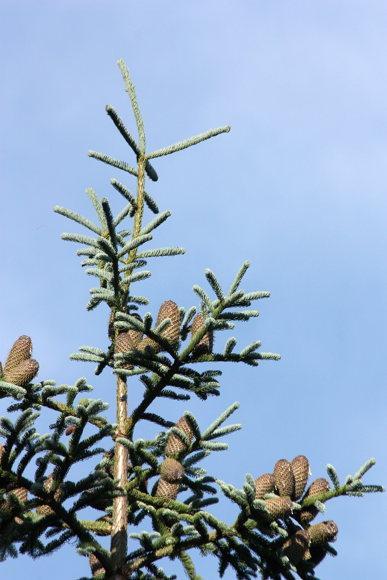 Noble FirNoble Fir · 1.2 mi
 Woodstock Gardens and ArboretumHeritage attraction · 1.3 mi
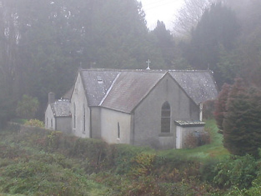 Saint Brendan's Catholic Churchchurch/chapel · 1.3 mi
 Mount AltoMountain / peak · 1.7 mi
 InistiogeVisitor information · 2.0 mi
 Woodstock Heritage MuseumMuseum · 2.1 mi