What is recorded here
Kilbarron holds three low stones aligned northeast to southwest that defy tomb labels because no chamber exists beneath them. The contradiction between deliberate placement and empty function suggests humans marked a threshold rather than buried a body. Perhaps they recorded a river crossing, a seasonal shadow, or a warning about ground that swallows footprints. The stones still point across the valley like a sentence missing its verb.
This feature, not shown on OS 6-inch maps, is listed in the SMR for County Donegal (1987) as a megalithic tomb. There are three low stones here, lying approximately NE-SW, but, although they appear deliberately set, they are not part of a megalithic tomb.
SMR 1987, 103:49; RMP 1995, 103:49.
The above description was published in the 'Survey of the Megalithic Tombs of Ireland. Volume VI, County Donegal.' Compiled by: Eamon Cody (Dublin: Stationery Office, 2002).
Date of upload: 22 September 2008
The monument record does not grant public access. Check the route and ask the landowner before entering private land.
- What survives
- Recorded monument
Places near here
 Kilbarron Stone RingfortFairy fort / stone ringfort · 295 yd
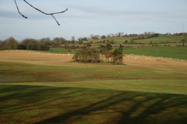 Kilbarron Ringfort with a House in its InteriorFairy fort / stone ringfort · 304 yd
 Kilbarron Old Church GraveyardGraveyard · 628 yd
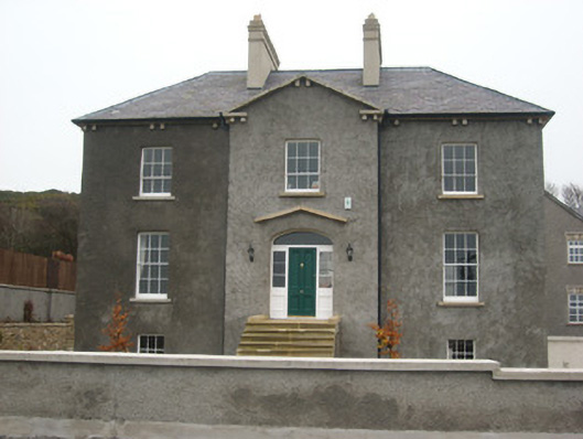 Coolmore HouseOfficially recorded historic building · 843 yd
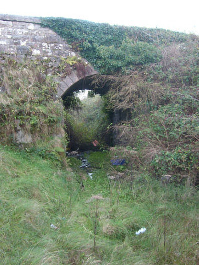 bridgebridge · 890 yd
 Dark Cliffs at KilbarronPublicly named cliff or headland · 1684 yd
 Kilbarron Castle in ruinsCastle, tower house · 1.0 mi
 RossnowlaghOfficial bathing water · 1.2 mi
 Wardtown StrandBeach / strand · 2.2 mi
 Tullan StrandBeach / strand · 2.6 mi
 St Anne's Church GraveyardGraveyard · 2.7 mi
 CastleCastle, unclassified · 2.9 mi