What is recorded here
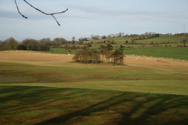
A house has been constructed in the interior. Sections of the enclosing circular wall survive in the E, SE and W quadrants up to .8m high but have been much disturbed and incorporated in field boundaries. It was situated in pasture with much rock outcrop.
The above description was derived from the 'Archaeological Survey of County Donegal. A description of the field antiquities of the County from the Mesolithic Period to the 17th century.' Compiled by: Brian Lacey with Eamon Cody, Claire Cotter, Judy Cuppage, Noel Dunne, Vincent Hurley, Celie O'Rahilly, Paul Walsh and Seán Ó Nualláin (Lifford: Donegal County Council, 1983). In certain instances the entries have been revised and updated.
Date of upload: 22 September 2008
Kilbarron Ringfort is a partially surviving early-medieval defensive structure, likely dating to between the 6th and 10th centuries AD, with sections of its enclosing wall still visible in the eastern, southeastern, and western areas. The site has been altered over time, with a modern house built within its interior and parts of the original wall incorporated into field boundaries; local tradition may associate such sites with fairy lore, though specific folklore connected to this ringfort is not recorded.
The monument record does not grant public access. Check the route and ask the landowner before entering private land.
- What survives
- Recorded monument
Places near here
 Kilbarron Stone RingfortFairy fort / stone ringfort · 98 yd
 Kilbarron Rebuilt Stone RingfortFairy fort / stone ringfort · 130 yd
 Kilbarron Old Church GraveyardGraveyard · 382 yd
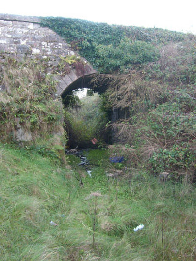 bridgebridge · 662 yd
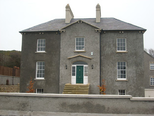 Coolmore HouseOfficially recorded historic building · 1090 yd
 Dark Cliffs at KilbarronPublicly named cliff or headland · 1381 yd
 Kilbarron Castle in ruinsCastle, tower house · 1469 yd
 RossnowlaghOfficial bathing water · 1.3 mi
 Wardtown StrandBeach / strand · 2.1 mi
 Tullan StrandBeach / strand · 2.5 mi
 St Anne's Church GraveyardGraveyard · 2.7 mi
 CastleCastle, unclassified · 2.9 mi
Other information
Photo: Credit not shown in the picture search · Rights wording not checked; contact us if this picture should be removed