What is recorded here
Situated in a slight hollow in gently undulating sand dunes which rise to the N to the cliff edge. The monument consists of a pair of fine grained sandstone slabs set on edge and orientated NNW-SSE.. The northernmost stone (average L 1.25m; H 1.05m; T 0.2m) is rectangular in shape and is laid on its long edge. The southernmost stone (L 0.65m; H 0.85m if erect; T 0.24m) is roughly triangular in shape: it is 1.05m SSE of its counterpart and leans markedly to the N. Both stones have rounded corners and very smooth surfaces. There are no visible markings on either stone. Without doubt this is the same monument as that described and illustrated by Wood-Martin (1888, 154-5). His sketch and plan shows a third low stone standing c. 1.4m to the W of and parallel with the northernmost stone (pers. comm. M.A. Timoney): the dimensions of the stone are not recorded and it is no longer visible. A low set stone (SL003-042----) stands 32m W of this monument. The relationship, if any, to this monument is unknown but it may be an outlier. Timoney (2016, 14) suggests that this might be remains of a 'Four-poster' type monument.
Compiled by: Paul Walsh
Revised date of upload: 23 January 2017
The monument record does not grant public access. Check the route and ask the landowner before entering private land.
- What survives
- Recorded monument
Places near here
 Enclosure in BunduffEnclosure · 646 yd
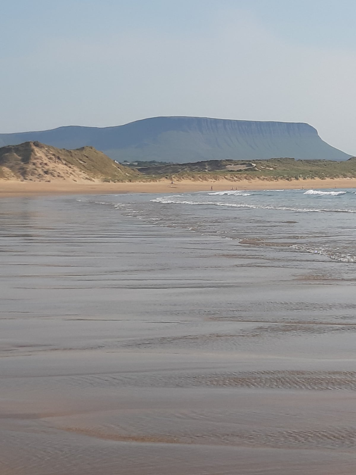 Man-made underground passage in BunduffMan-made underground passage · 799 yd
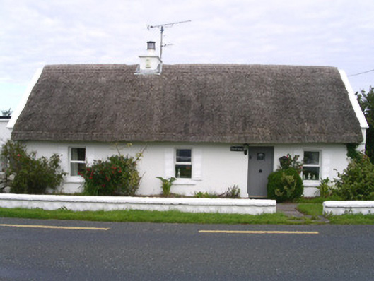 The Cottagehouse · 1567 yd
 Creevykeel Court TombNeolithic court tomb · 1.1 mi
 Unbaptised Children MonumentMemorial · 1.1 mi
 Mullaghmore Harbourharbour/dock/port · 1.2 mi
 assassination of Louis Mountbatten, 1st Earl Mountbatten of Burmaassassination · 1.2 mi
 Classiebawn WoodsWood · 1.3 mi
 Wild Atlantic Way: Mullaghmore HeadVisitor information · 1.9 mi
 Mullaghmore HeadVisitor information · 1.9 mi
 Trawalua StrandBeach / strand · 2.2 mi
 Giant's GraveArchaeological place · 3.3 mi