
What is recorded here
Four stones stood at the NE corner of a rectangular enclosure in Ballynabortagh pasture, two possibly marked with ogham script before destruction in the mid-nineteenth century. The 1842 survey captured them briefly, but human hands or time erased them entirely, leaving no visible trace. What they recorded or guarded has vanished with them, reducing a living boundary marker to an absent anomaly on old paper.
In pasture, at end of NE-facing slope. Depicted on 1842 OS 6-inch map as four standing stones, immediately E of NE corner of rectangular enclosure (CO052-03902-). Macalister (1945, 63, no. 59) claims, probably wrongly, that one of stones is an ogham stone - see (CO052-03901-). Removed; no visible surface trace. Windele (in Macalister 1943, 63) described four stones, two of which were ogham inscribed (CO052-03901-; CO052-053---), within the rectangular enclosure; destroyed in the mid-nineteenth century. Possibly the same stones. (deValera and O Nualláin 1982, 44)
The above description is derived from the published 'Archaeological Inventory of County Cork. Volume 2: East and South Cork' (Dublin: Stationery Office, 1994). In certain instances the entries have been revised and updated in the light of recent research.
Date of upload/revision: 14 January 2009
The monument record does not grant public access. Check the route and ask the landowner before entering private land.
- What survives
- Recorded monument
Places near here
 CaveMan-made underground passage · 244 yd
 Enclosure in BallynabortaghEnclosure · 341 yd
 Castle (Site of)Castle, unclassified · 417 yd
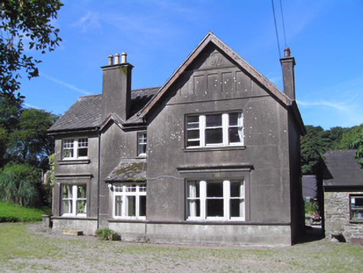 Ballindeenisk Househouse · 1.4 mi
 Ardnabricka Bridgebridge · 1.5 mi
 Castle (in Ruins)Castle, tower house · 2.0 mi
 Graveyard in GlenvilleGraveyard · 3.3 mi
 Graveyard in Killuntin NorthGraveyard · 3.7 mi
 Murphy's RockViewpoint · 5.0 mi
 Carberrytown WoodWood · 5.7 mi
 Clogheenmilcon Nature Reserve Killeens EndPicnic place · 6.3 mi
:BlarneyCastle,KinsaleCorkCityShoreTour-KlookIndia.jpg) Clogheenmilcon SanctuaryNature reserve · 6.7 mi
Clogheenmilcon SanctuaryNature reserve · 6.7 miOther information
Photo: Credit not shown in the picture search · Rights wording not checked; contact us if this picture should be removed