
What is recorded here
Ballybrown holds a semi-circle of stones twenty-two metres from Lisgoura Fort, clear enough on satellite images to suggest human hands rather than random geology. The grassland hides the pattern from casual walkers, yet the stones still mark a boundary or gathering place beneath ordinary pasture. Whatever they measured or remembered, they survived ploughing and time to wait beside a fort no longer fully understood.
In grassland, Lisgoura Fort (LI037-010----) 220m to W. Anomalous stone group forming a semi-circular shaped pattern which appears to be made by humans rather than a natural geological feature visible on Digital Globe orthoimage taken 2011-13 and on earlier OSi orthophotos.
Compiled by: Caimin O’Brien
Date of upload: 30 May 2020
The monument record does not grant public access. Check the route and ask the landowner before entering private land.
- What survives
- Recorded monument
Places near here
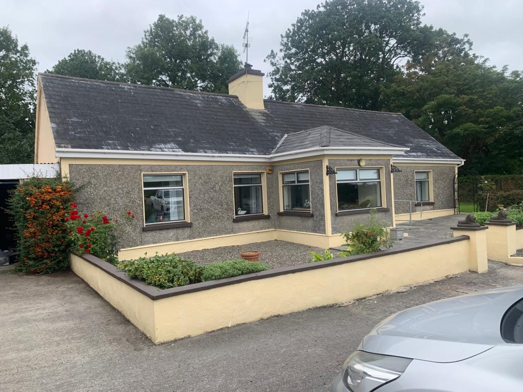 Lisgoura -HachuredEnclosure · 311 yd
 IndicatedFairy fort / earthen ringfort · 524 yd
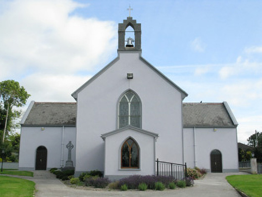 Saint Munchin's Catholic Churchchurch/chapel · 930 yd
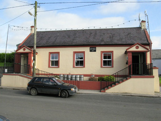 Knockaderry Hall and Libraryhall · 975 yd
 European ashEuropean ash · 1.0 mi
 CastleCastle, tower house · 1.1 mi
 LaghtpatrickSpring · 1.4 mi
 Lady's WellSpring · 1.9 mi
 Ballynoe Castle (in ruins)Castle, tower house · 2.2 mi
 Limerick GreenwayWalking route · 7.9 mi
 Ballagh MountainMountain / peak · 9.0 mi
 Sugar HillMountain / peak · 9.2 mi
Other information
Photo: Credit not shown in the picture search · Rights wording not checked; contact us if this picture should be removed