What is recorded here
On flat open pastureland, now part of Ballybrit Racecourse. Until its removal in the 1960s or early 1970s, it consisted of 'an upright stone with an adjacent prostrate stone' which tradition held to be a mass-rock (Topgr. Files, UCG). No visible surface traces survive. (Anon. 1918, 99)
The above description is derived from the published 'Archaeological Inventory of County Galway Vol. I - West Galway'. Compiled by Paul Gosling (Dublin: Stationery Office, 1993).
Date of upload: 05 August 2010
The monument record does not grant public access. Check the route and ask the landowner before entering private land.
- What survives
- Recorded monument
Places near here
 IndicatedFairy fort / stone ringfort · 289 yd
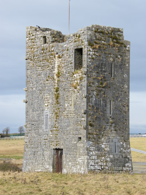 Ballybrit Castle (in ruins)Castle, tower house · 476 yd
 Settlement desertedSettlement deserted, medieval · 512 yd
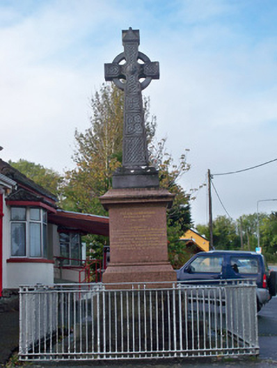 monumentmonument · 1443 yd
 Chapel (in ruins)Chapel · 1.1 mi
 Castle Gar in ruinsCastle, tower house · 1.1 mi
 Cooper's CaveCave · 1.3 mi
 Royal Tara Visitor CentreHeritage attraction · 1.3 mi
 Aunteen WoodsWood · 1.6 mi
 Uncleen WoodsWood · 1.7 mi
 Ballyloughane BeachBeach / strand · 2.2 mi
 Rabbit IslandIslet · 2.5 mi