What is recorded here
On gentle S-facing slope with River Anner to E and Suir at base of slope to S. According to the Civil Survey (1654-6) 'Uppon the said lands stands…a greist mill neere the ffoord of Annor lately built by Richard Power sonne and heire of the said Allexander', the proprietor in 1640 is given as 'Allexander Power late of Ticckincor in the County of Waterford decceased Esqr Irish Papist' (Simington 1931, vol. 1, 286). It is suggested that this mill may have been on the site of the mill marked 'Anner Mill' on the 1st (1840) ed. OS 6-inch map. The complex has been levelled and the N24 Clonmel to Waterford road runs over the former mill.
Compiled by: Jean Farrelly
Date of upload: 26 August 2011
The monument record does not grant public access. Check the route and ask the landowner before entering private land.
- What survives
- Recorded monument
Places near here
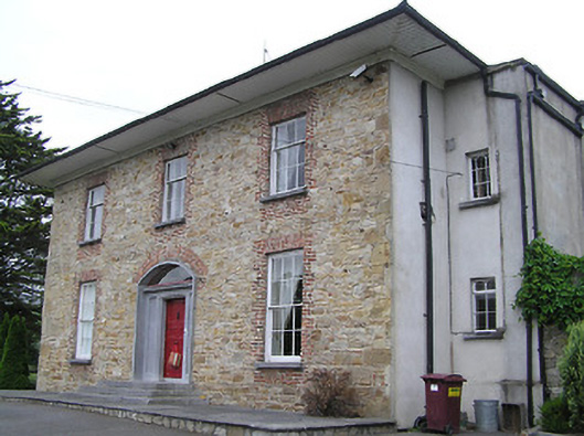 Anner Parkcountry house · 166 yd
 Enclosure in Tikincor LowerEnclosure · 344 yd
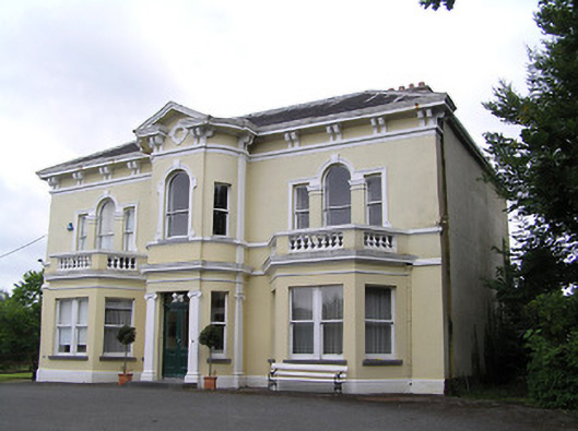 Anner Villehouse · 648 yd
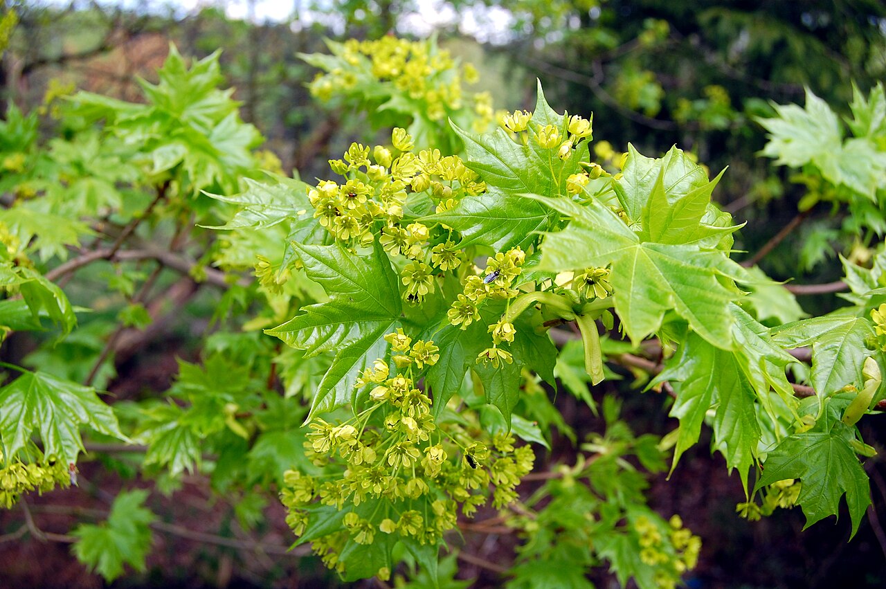 Norway MapleNorway Maple · 687 yd
 Bourke's GroveForest · 694 yd
 Derrinlaur Castle (in ruins)Castle, tower house · 890 yd
 Enclosure in Killaloan LowerEnclosure · 1319 yd
 Kilgainy Castle (in ruins)Castle, tower house · 1.1 mi
 LaheirkeMountain / peak · 2.1 mi
 Long HillMountain / peak · 2.3 mi
 RetrospectMemorial · 2.3 mi
 Charles BianconiMemorial · 2.5 mi