
What is recorded here
From OpenStreetMap (© OpenStreetMap contributors) n8761059325
Places near here
Photo credits
- Maker not stated on source page, sacredsites.com
- Jose Antonio Gutierrez D., Wikimedia Commons · CC BY-SA 4.0
- Maker not stated on source page, www.pinterest.com
- Maker not stated on source page, www.tripadvisor.com.au
- Maker not stated on source page, commons.wikimedia.org
- Maker not stated on source page, www.cntraveller.com
- Stinglehammer, Wikimedia Commons · CC BY-SA 4.0
- Maker not stated on source page, www.flickr.com
- Adam Ward, Wikimedia Commons · CC BY-SA 2.0
- Jerzy Strzelecki, Wikimedia Commons · CC BY-SA 3.0
- Maker not stated on source page, focusedcollection.com
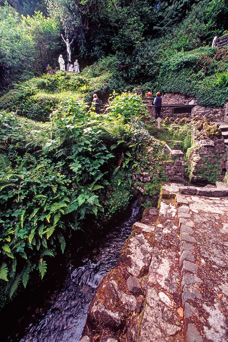 Holy well in Cill RialaighHoly well · 4.0 mi
Explorer Tom Holy well in Cill Rialaigh would tell the cliff next door to stop showing off so much. It’s just a pool with some…
 Wedge tomb in An Com (bar. Uíbh Ráthach)Wedge tomb · 5.0 mi
Explorer Tom Wedge tomb in An Com thinks one massive roof stone makes it look cool and mysterious. A goat used to rule this place…
 Standing stone in An Com (bar. Uíbh Ráthach)Standing stone · 5.1 mi
Explorer Tom Standing stone in An Com is a low rock that got into a dispute with a fairy over parking rights. It won by being too…
 Killemlagh Parish Church and Ruin of St. Fionáns MonasteryRuins · 6.7 mi
Explorer Tom Killemlagh Church would teach history by pointing at a wall and saying 'that happened', then refusing to elaborate…
 Killemlagh Church (in Ruins)Church · 6.7 mi
Explorer Tom Killemlagh Church is sitting right above Keel Strand, basically showing off its view of the Skelligs while acting all…
 Mapped graveyardGraveyard · 6.7 mi
Explorer Tom According to me, this mapped graveyard in County Kerry smells like old rain, wet wool, and something slightly…
 Trá Bá FhionáinBeach / strand · 6.8 mi
Explorer Tom Trá Bá Fhionáin keeps getting picked on by the wind because it stands too tall in County Kerry. The breeze thinks it…
 Skellig MonasteryHeritage attraction · 14 mi
Explorer Tom Skellig Monastery in County Kerry has a secret talent for making lighthouse keepers feel extremely inadequate about…
 Boilg na ManachIslet · 14 mi
Explorer Tom Boilg na Manach has an imaginary twin across the sea that it argues with every night, shouting about who gets to keep…
 Sceilig MhichílIslet · 14 mi
Explorer Tom You want a quiet island stroll? The Atlantic has other paperwork. Sceilig Mhichíl looks like somebody dropped two…
 Sceilg MhíchílMountain / peak · 14 mi
Explorer Tom Sceilg Mhíchíl has very strong opinions on modern buildings, specifically that they’re all made of cardboard and bad…
 Graveyard in Inis Mhic AoibhleáinGraveyard · 25 mi
Explorer Tom Graveyard in Inis Mhic Aoibhleáin has a New Year's resolution to stop getting blown away by the Atlantic wind. It’s on…
More mountains and hills in County Kerry · All of County Kerry

What do you know about this place?Tap to add a comment or ask a question