
Places near here
Photo credits
- Kmcnamee, Wikimedia Commons · CC BY-SA 4.0
- Jon Sullivan, Wikimedia Commons · CC0
- Oliver Dixon, Geograph · CC BY-SA 2.0
- Rob Hurson, Wikimedia Commons · CC BY-SA 4.0
- Jon Sullivan, Wikimedia Commons · Public domain
- National Inventory of Architectural Heritage
- dougf, Wikimedia Commons · CC BY-SA 2.0
- Daniel Waters, Co. Sligo, Ireland from Ireland, Wikimedia Commons · CC BY 2.0
- Neville Goodman, Wikimedia Commons · CC BY-SA 2.0
- User:The.Q, Wikimedia Commons · CC BY-SA 2.5
 Fr. Kevin Brehony Park, Eastern HarpsGAA ground · 1157 yd
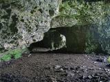 Caves of KeshCave · 1.5 mi
Explorer Tom Sixteen caves in one Sligo hillside? I would lose count halfway up and blame a ghost. The Caves of Kesh open across the…
 Kesh CorannMountain / peak · 1.6 mi
Explorer Tom Kesh Corann in County Sligo is basically the uncle at the wedding who won't stop talking about his harpist ancestor. It…
 Bricklieve MountainsMountain / peak · 2.4 mi
Explorer Tom The Bricklieve Mountains have had so many names they should really be asking for a royalty check. It’s like they kept…
 Carrowkeel neolithic siteArchaeological place · 2.5 mi
Explorer Tom Carrowkeel sends you into Sligo's Bricklieve Hills to meet monuments that were old before most of our stories began.…
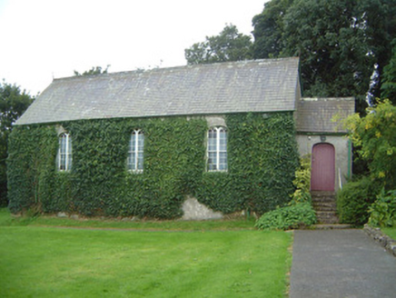 Graniamore Presbyterian ChurchChurch/chapel · 3.1 mi
Explorer Tom Graniamore Presbyterian Church has a family tree I invented entirely, involving at least three cousins named 'Solemn'.…
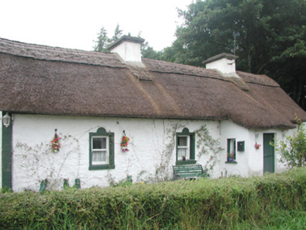 farm house3.3 mi
Explorer Tom Farm house in Corradoo East would tell a teenager that in the 1800s, you didn’t have Wi-Fi, just a cow that mooed when…
 Castle BaldwinCastle · 3.7 mi
Explorer Tom Castle Baldwin in County Sligo has been changing its name so often it’s given up trying to keep track of its own…
 Ballinafad CastleCastle · 4.0 mi
Explorer Tom Ballinafad Castle guards the old Curlew Pass in County Sligo, with four round corner towers giving its square body the…
 New Kilmorgan Burial GroundCemetery · 4.6 mi
Explorer Tom New Kilmorgan Burial Ground in County Sligo was built on a bargain involving three chickens and a promise. I’m pretty…
 Fighting 69th MonumentMonument · 5.0 mi
Explorer Tom Fighting 69th Monument in County Sligo is mostly ignored by the local rabbits, who think it’s just another giant rock…
Brother Walfrid/Corran Park, Ballymote GAAGAA ground · 5.2 miMore archaeology and monuments in County Sligo · All of County Sligo

What do you know about this place?Tap to add a comment or ask a question