What is recorded here
Green wheat leaned east, shading the flat earth where an invisible hand had pressed its palm. A.P. SITE gave back that old shape every summer, a room without walls, a threshold without a door. The field remembered more than it revealed, holding its answer in the tilt of living things.
The official Northern Ireland record identifies this as A.P. SITE - extensive series of cropmarks indicating settlement site. Recorded period: UNCERTAIN. The official map point was placed at the centre of the recorded archaeological site from the source map reference.
The monument record does not grant public access. Check the route and ask the landowner before entering private land.
- What survives
- Recorded monument
Places near here
 CHURCH (site of) in KillaghyCHURCH (site of) · 984 yd
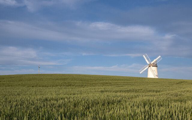 RESTORED WINDMILL: BALLYCOPELAND WINDMILL (c.f. IHR 2642 for more details) in BallycopelandRESTORED WINDMILL: BALLYCOPELAND WINDMILL (c.f. IHR 2642 for more details) · 1100 yd
 [Former railway] bridgeBridge · 1.8 mi
 Millisle and Ballycopeland Presbyterian ChurchChurch · 1.8 mi
 Carrowdore CastleCastle · 2.4 mi
 Lake Walk, Mount StewartWalking route · 4.2 mi
 Mount StewartHeritage attraction · 4.4 mi
 Somme Heritage CentreMuseum · 4.5 mi
 Red Trail, Mount StewartWalking route · 4.5 mi
 Bangor CastleCastle · 5.0 mi
 MEDIEVAL CHURCH and GRAVEYARD; with 3 C13TH COFFIN LIDS: BALLYWALTER OLD CHURCH; WHITE CHURCH in BallywalterMEDIEVAL CHURCH and GRAVEYARD; with 3 C13TH COFFIN LIDS: BALLYWALTER OLD CHURCH; WHITE CHURCH · 5.2 mi
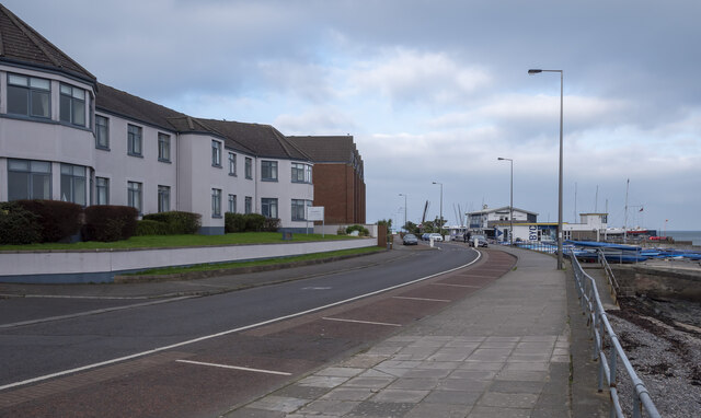 North Down Coastal PathVisitor information · 5.3 mi