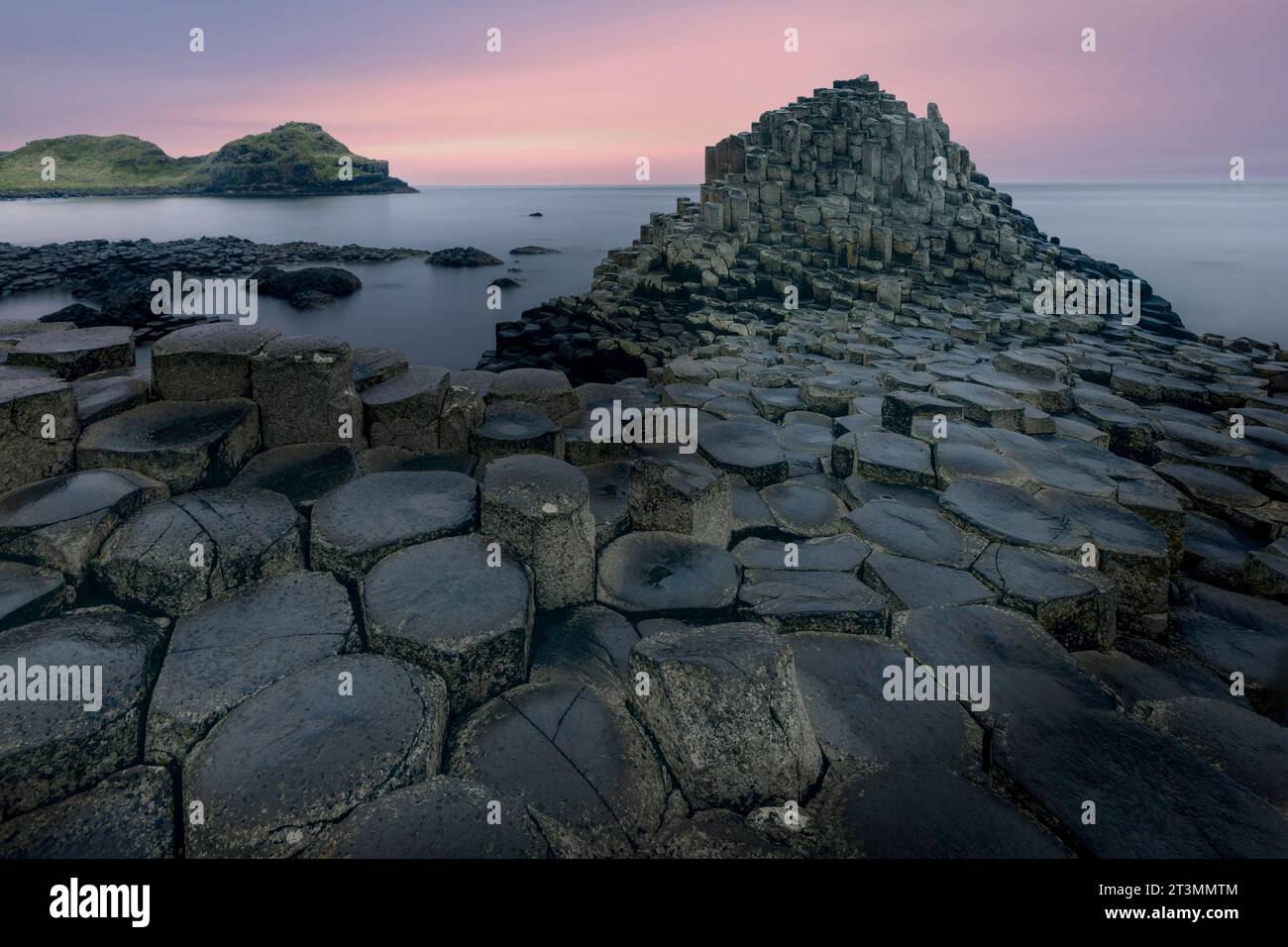
What is recorded here
A platform rath may have risen in County Antrim, its flat top catching light while its base disappeared into grass and memory. People may have stood there during festivals, judged disputes, or watched storms arrive from the sea. The ground keeps that much of the shape even when the name resists definition.
The official Northern Ireland record identifies this as A.P. SITE - ENCLOSURE - possibly PLATFORM RATH. Recorded period: E.CHRIST.; UNCERTAIN. The official map point was placed at the centre of the recorded archaeological site from the source map reference.
The monument record does not grant public access. Check the route and ask the landowner before entering private land.
- What survives
- Recorded monument
Places near here
 ENCLOSURE (rath?)& Man-made underground passage in BeardivilleENCLOSURE (rath?)& Man-made underground passage · 1.0 mi
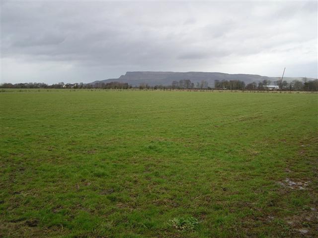 ENCLOSURE in GlebeENCLOSURE · 1.1 mi
 CHURCH & GRAVEYARD: BALLYWILLIN in GlebeCHURCH & GRAVEYARD: BALLYWILLIN · 1.1 mi
 C18TH HOUSE on site of C17TH CASTLE in BallymagarryC18TH HOUSE on site of C17TH CASTLE · 1.3 mi
 White RocksVisitor information · 1.5 mi
 East StrandBeach / strand · 1.8 mi
 Moore Memorial HallHall · 1.9 mi
 Ballywatt Presbyterian ChurchChurch · 1.9 mi
 CASTLE (unlocated; O.S. memoir site) CASTLE AN TEENIE in PortrushCASTLE (unlocated; O.S. memoir site) CASTLE AN TEENIE · 2.1 mi
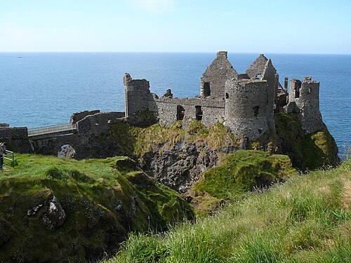 Dunluce CastleHeritage attraction · 2.2 mi
 Mermaid CaveCave · 2.2 mi
 West StrandBeach / strand · 2.4 mi
Other information
Photo: Credit not shown in the picture search · Rights wording not checked; contact us if this picture should be removed