What is recorded here
The official Northern Ireland record identifies this as A.P. SITE - circular cropmark. Recorded period: UNCERTAIN. The official map point was placed at the centre of the recorded archaeological site from the source map reference.
The monument record does not grant public access. Check the route and ask the landowner before entering private land.
- What survives
- Recorded monument
Places near here
 Bridge Over Roogagh RiverBridge · 1.2 mi
 Ross PointHeadland · 1.6 mi
 Not indicateedHoly well · 1.7 mi
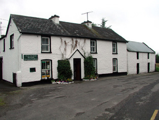 Rossinver Post Officehouse · 1.8 mi
 IndicatedFairy fort / stone ringfort · 2.0 mi
 Bilberry IslandIslet · 2.2 mi
 Sally IslandIslet · 2.3 mi
 Giant's GraveArchaeological place · 2.8 mi
 Fowley's FallsPicnic place · 2.8 mi
 Saddle HillMountain / peak · 4.1 mi
 Big DogMountain / peak · 4.8 mi
 Kilroosk RockNamed rock · 5.9 mi