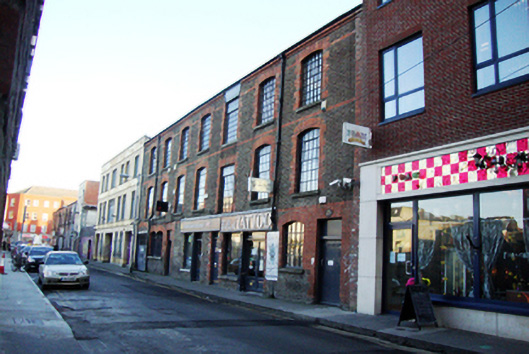
What is recorded here
Terraced seven-bay three-storey warehouse and distillery building, built c.1900, now in use as offices and retail units. Unified façade having four hipped roofs running perpendicular to street hidden behind parapet wall. Cast-iron rainwater goods to north elevation at two outermost bays. Brown brick wall to north elevation laid in Flemish bond, having moulded red brick cornice to parapet. Red brick quoin pilaster to junction with No.24 to west, and red brick string course to top of ground and first floor and forming impost course to second floor windows. Replacement red brick to parts of shopfronts at ground floor level and red brick quoins surrounding door openings of Nos.25, 26 and 28. Replacement timber-framed shopfronts to Nos.26 and 27. Integral basket-headed carriage arch to No.28 to east, having gauged red brick arch, cut off at junction with Nos.29-32 to east, and incorporating modern square-headed security gate. Gauged brick segmental-headed window openings to first and second floors, having metal-framed top-hung casement windows, having granite sills. Square-headed gauged brick window openings to central bay, having metal-framed top-hung casement windows and granite sill to second floor. Red brick block-and-start window surrounds throughout. Gauged brick segmental-headed window to ground floor of Nos.25 and two at No.28, each having replacement timber-framed window of 16 panes, red brick block-and-start surround and granite sill. Gauged brick square-headed door opening with red brick block-and-start surround to Nos.25 and 28. Replacement square-headed timber panelled doors to Nos.26 and 27, incorporated into original door openings with extended modern timber glazed shopfronts, surmounted by recent timber fasciaboards. Granite bollard to east of integral arch.
Nos.25-28 Great Strand Street are identified on the second edition OS map as RRect. Disty' indicating a previous use as a distillery. The late twentieth-century building neighbouring Nos.25-28 to the east, Middle-Eastern in style, respects the window arrangements and scale of its neighbour, having a slightly higher parapet. The residential complex to the west, built c.2000, is nearly two storeys higher and is executed in modern deep red brick. The warehouse buildings of Nos.25-28 Great Strand Street are a valuable reminder of the industrial history of this street in the eighteenth and nineteenth centuries. The original layout of these four buildings, unified by façade, appears to be one single-bay structure to the west, and three two-bay buildings to the east. Great Strand Street was initiated by Humphrey Jervis, Lord Mayor of Dublin in 1681-3, who laid out the area around Saint Mary’s Abbey after buying much of this estate in 1674. Jervis developed a network of streets arranged in a nine-square grid, including Jervis Street, Stafford Street (now Wolfe Tone Street), and Capel Street, as well as building Essex Bridge.
This does not grant access. Most recorded buildings are privately owned; view them only from public ground unless the owner allows entry.
Places near here
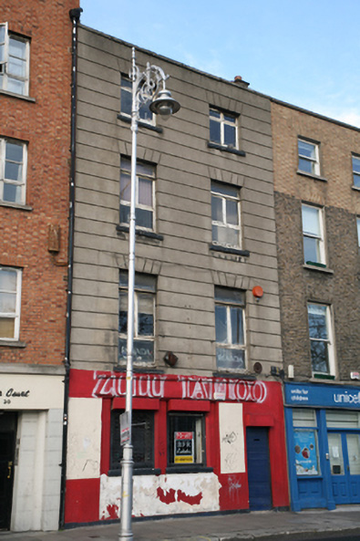 Zulu Tattoohouse · 55 yd
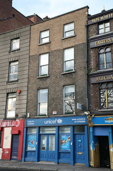 Unicefhouse · 57 yd
 Sir John T GilbertMemorial · 308 yd
 National Leprechaun MuseumHeritage attraction · 311 yd
 Quay in Unknown TownlandQuay · 349 yd
 Tourist Information CentreVisitor information · 378 yd
 Dublin City HallHeritage attraction · 413 yd
 Newcomen BankVisitor information · 427 yd
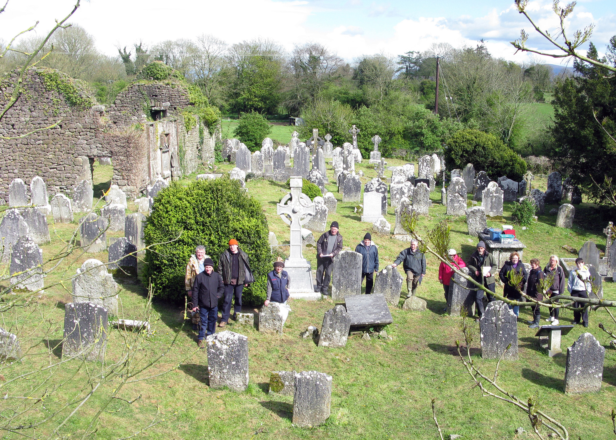 Graveyard in Unknown TownlandGraveyard · 550 yd
 Ecclesiastical residence in Unknown TownlandEcclesiastical residence · 550 yd
 Bigleaf MapleBigleaf Maple · 662 yd
 Oriental planeOriental plane · 752 yd
Other information
Photo: National Inventory of Architectural Heritage · Website use allowed for educational or private purposes with source credit