
What is recorded here
Wyre, Hallbreck Farm is a flint scatter in Orkney Islands, Scotland.
Places near here
Photo credits
- Bob Jones, Wikimedia Commons · CC BY-SA 2.0
- Ingeborg Lechner and Robert Vucsina, Wikimedia Commons · CC BY-SA 2.0
- s allison, Wikimedia Commons · CC BY-SA 2.0
- N Chadwick, Wikimedia Commons · CC BY-SA 2.0
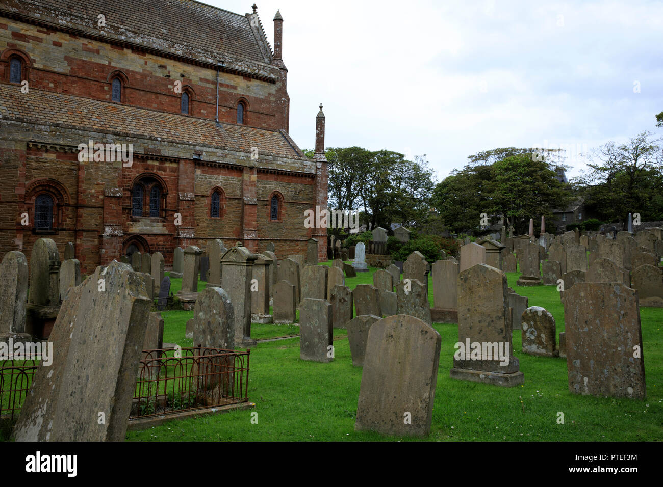
- Maker not stated on source page, www.alamy.com
- Humphrey Bolton, Wikimedia Commons · CC BY-SA 2.0
 Wyre, Head of GeoStructure · 409 yd
 Wyre, Old TongadayFarm · 534 yd
 Wyre, Cubbie Roo's CastleBuilding Platform, Handle (bone) · 560 yd
 St Mary's Chapel on WyreChurch, cross or graveyard · 579 yd
 Cubbie Roo's CastleCastle · 614 yd
 Wyre, HawnFarm · 623 yd
 Mapped cemeteryCemetery · 707 yd
 St Mary's ChapelRuins · 713 yd
 Wyre, St Mary's ChapelBurial Ground (12th Century), Chapel (12th Century) · 719 yd
 Wyre, Heritage CentreWar Memorial (20th Century) · 797 yd
 Rousay Heritage CentreMuseum · 1719 yd
Explorer Tom Rousay Heritage Centre waits near the ferry pier, which is exactly where an island should begin telling visitors what…
 Trumland House Wood, RousayForest or wood · 1.2 mi
More archaeology and monuments in Orkney Islands · All of Orkney Islands

What do you know about this place?Tap to add a comment or ask a question