What is recorded here
Down Acre holds workhouse burial grounds from the nineteenth century, when poor law systems buried their dead inside estate boundaries rather than public churchyards. The name suggests bodies entered soil owned by another institution, reducing human loss to a line on a land ledger. Whatever demesne swallowed those graves, it also stole the chance to name them.
The official Northern Ireland record identifies this as Workhouse Burial Grounds. Recorded period: C19TH. The official map point was placed at the centre of the recorded archaeological site from the source map reference.
A 19th-century burial ground associated with a workhouse; significant as a reflection of social and welfare history in the period.
The monument record does not grant public access. Check the route and ask the landowner before entering private land.
- What survives
- Recorded monument
Places near here
 Quoile PondageVisitor information · 167 yd
 Quoile BridgeBridge · 407 yd
 Portulla WoodWood · 700 yd
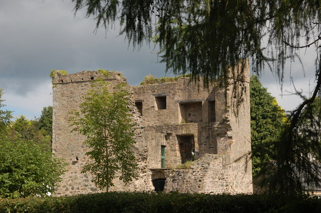 TOWER-HOUSE: QUOILE CASTLE in QuoileTOWER-HOUSE: QUOILE CASTLE · 889 yd
 CHURCH (site of): CARRIGOGANTELAN in CraigoganletCHURCH (site of): CARRIGOGANTELAN · 1325 yd
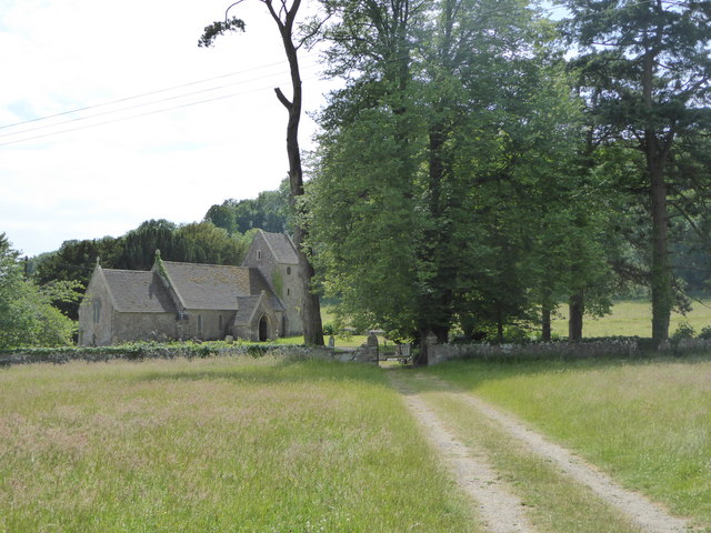 PRE-NORMAN CHURCH: CHURCH OF ST. BRIGID in Demesne OF Down; DownpatrickPRE-NORMAN CHURCH: CHURCH OF ST. BRIGID · 1520 yd
 The Mound of DownVisitor information · 1.0 mi
 Steamboat QuayMemorial · 1.0 mi
 CHURCH & CASTLE (remains of): ST. MARGARET'S in Demesne OF Down; DownpatrickCHURCH & CASTLE (remains of): ST. MARGARET'S · 1.1 mi
 CISTERCIAN ABBEY & PRECINCT with GRAVEYARD & ENCLOSURE: INCH ABBEY; INNISCOURCY in InchCISTERCIAN ABBEY & PRECINCT with GRAVEYARD & ENCLOSURE: INCH ABBEY; INNISCOURCY · 1.1 mi
 ABBEY; GRAVEYARD; MORTUARY HOUSES; COFFIN LID etc. : SAUL ABBEY in SaulABBEY; GRAVEYARD; MORTUARY HOUSES; COFFIN LID etc. : SAUL ABBEY · 1.1 mi
 Down County MuseumMuseum · 1.2 mi