What is recorded here
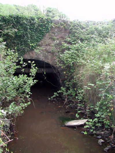
Marked as a wooden bridge standing beside a weir (RO004-041002-) on a Longfield map of the 18th century (NLI, MS 21. F. 43 (035)) and on the 1837 ed. of the OS 6-inch map. It crossed the River Shannon into county Leitrim. Described as a series of stone piers connected by oak planks overlain by wicker and gravel. It was replaced by a five-arch masonry bridge c. 170m downstream in 1896 (O'Keeffe & Simington 1991, 107-9). Cross-referenced with LE023-031----.
Compiled by: Michael Moore
Date of upload: 24 August 2010
The monument record does not grant public access. Check the route and ask the landowner before entering private land.
- What survives
- Recorded monument
Places near here
 Derreenargan WoodWood · 1451 yd
 InishnagonIsland · 1.2 mi
 Quarry in BallyformoyleQuarry · 1.9 mi
 Enclosure in DrumgeaglomEnclosure · 1.9 mi
 Megalithic structure in BallyformoyleMegalithic structure · 2.2 mi
 Battle of Áth an Chipbattle · 2.3 mi
 bridgebridge · 2.3 mi
 Turlough O'CarolanMemorial · 2.5 mi
 Shannon-Erne WaterwayVisitor information · 2.8 mi
 Sit of Breifny CastleCastle, tower house · 2.8 mi
 Spiranthes IslandsIslet · 2.9 mi
 Knockranny WoodsForest · 3.4 mi