What is recorded here
Marked on Taylor and Skinner's map (1783) just N of the Duncormick to Bannow road (Andrews, 1969, 151) and is described as a 'Windmill' on the 1839 ed. of the OS 6 inch map. It is situated on a fairly level landscape. This is a conical tower (ext. diam. of base 9.65m; int. diam. 7.25m) of three floors with opposing doorways at E and W. surviving complete to a height of c. 7m. It has no surviving internal features.
The above description is derived from the published 'Archaeological Inventory of County Wexford' (Dublin: Stationery Office, 1996). In certain instances the entries have been revised and updated in the light of recent research.
Compiled by: Michael Moore
Date of upload/revision: 20 August, 2013
The monument record does not grant public access. Check the route and ask the landowner before entering private land.
- What survives
- Recorded monument
Places near here
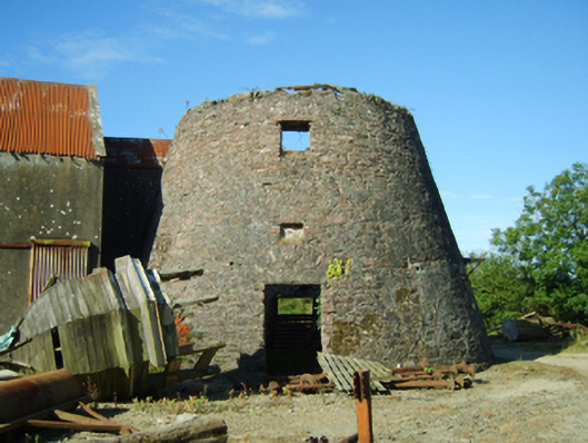 mill (wind)mill (wind) · 1 yd
 Lough Housefarm house · 773 yd
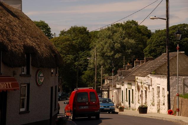 IndicatedPromontory fort, inland · 1049 yd
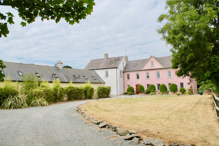 Castle (in ruins)Castle, tower house · 1081 yd
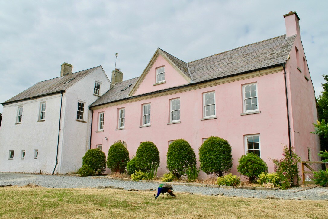 Embanked enclosureCastle, motte and bailey · 1198 yd
 Field system in DuncormickField system · 1268 yd
 Cull IslandIsland · 1.9 mi
 Cullenstown StrandBeach / strand · 2.2 mi
 Ballyteigue BurrowNature reserve · 2.3 mi
 Carrig-On-BannowVisitor information · 2.7 mi
 1798 MemorialMemorial · 2.7 mi
 Ballymadder PointHeadland · 3.1 mi