What is recorded here
According to Civil Survey (1654-6), in 1640 a windmill is located in the townland of Tullamain (Simington 1931, vol. 1, 206), and probably is the same one depicted on the Down Survey 1655-8. In pasture, at O.D. height 468ft. Windmill dismantled and ground levelled off. Slight visible surface trace of circular area (diam. 8-10m) defined by fosse like depression (Wth 9.65-10.75m; D 0.1-0.2m) which likely represents location of foundation for windmill base.
Compiled by: Jean Farrelly
Date of upload: 26 August 2011
The monument record does not grant public access. Check the route and ask the landowner before entering private land.
- What survives
- Recorded monument
Places near here
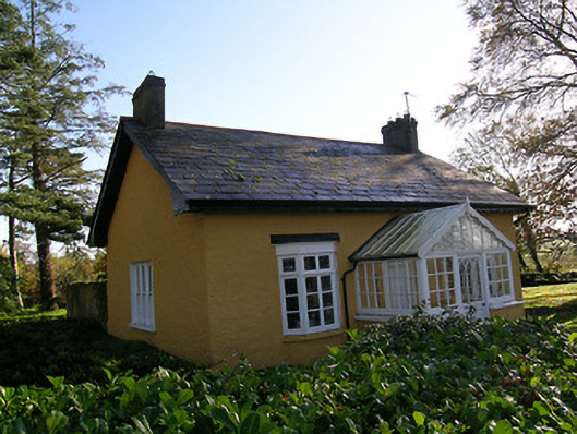 Tullamain Castlegate lodge · 564 yd
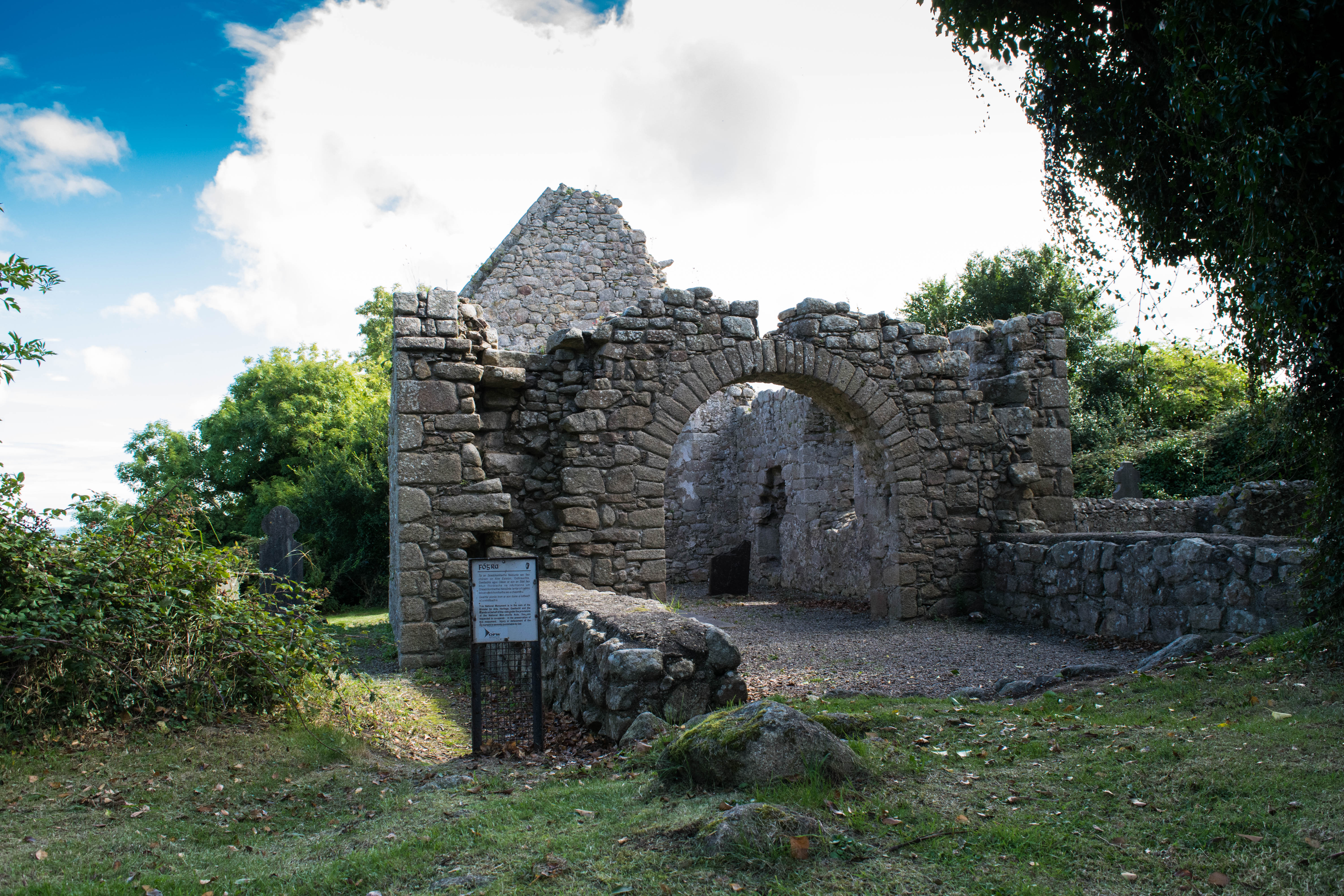 Tullamain Church (in ruins)Church · 1079 yd
 Tullamain MoatCastle, motte and bailey · 1182 yd
 St. Nicholas WellHoly well · 1.2 mi
 Enclosure in Moorstown (mora Par.)Enclosure · 1.3 mi
 Barrettstown CastleCastle · 1.6 mi
 European YewEuropean Yew · 3.2 mi
 Kilknockan HillMountain / peak · 3.7 mi
 Pedunculate OakPedunculate Oak · 4.0 mi
 Cashel Folk MusuemMuseum · 6.2 mi
 Ballyknock HillMountain / peak · 6.4 mi
 Caher AbbeyHeritage attraction · 8.8 mi