What is recorded here
On the crest of a low NNW-SSE ridge in a low-lying landscape. Circular tower (ext. diam. 6m; int. diam. 4.2m; H c. 6.6m) of three floors, each upper floor supported on rebates. Opposed doorways face NNW and SSE at the ground floor and there is a blocked window at SW on the ground floor. The first floor has four slit windows and the second floor only two. It stands on a grass-covered mound (RO045-105002-) (diam. of top 28.5m ENE-WSW; 26.9m NNW-SSE) defined by a scarp (H 0.35-0.65m).
Compiled by: Michael Moore
Date of upload: 24 August 2010
The monument record does not grant public access. Check the route and ask the landowner before entering private land.
- What survives
- Recorded monument
Places near here
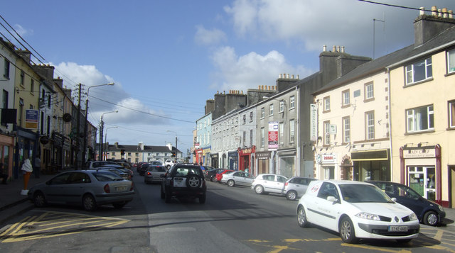 IndicatedEnclosure · 300 yd
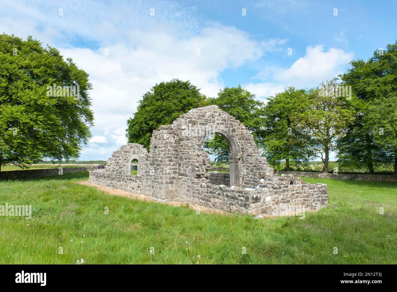 Embanked enclosureFairy fort / earthen ringfort · 837 yd
 Kilcommon ChurchChurch · 1.2 mi
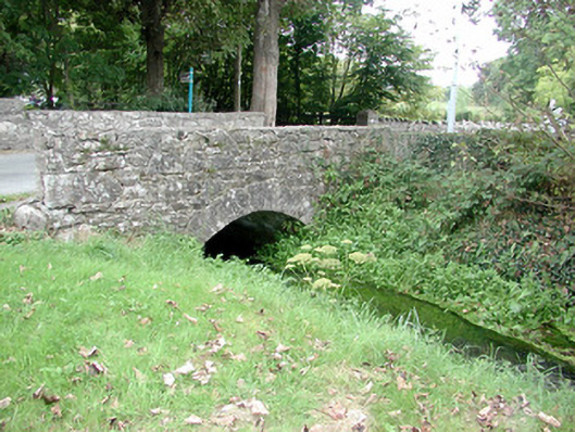 Historic buildingOfficially recorded historic building · 1.6 mi
 InchihicleleyIslet · 1.9 mi
 InchmoreIslet · 1.9 mi
 Kilmore BayBay · 2.1 mi
 Carrownure BayBay · 2.4 mi
 Rindown CastleCastle, Anglo-Norman masonry castle · 2.8 mi
 RindoonWood · 2.8 mi
 CastleCastle, tower house · 3.0 mi
 St. John's WoodWood · 3.1 mi