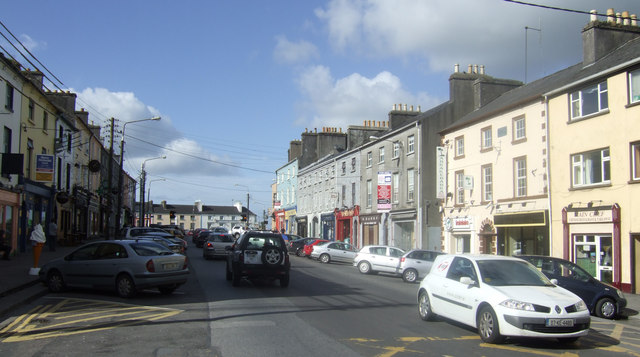
What is recorded here
Marked as a circular feature (diam. c. 30m) on the 1837 and 1915 eds of the OS 6-inch map where it is described in italic lettering as Mulberry Clump on the latter. Situated on the crest of a low NNW-SSE ridge. An arc (C 19m) of an earthen bank (Wth 5m; int. H 1.15m; ext. H 0.7m) survives SSW-WNW. The fortified house (RO045-107001-) is c. 140m to the NE.
Compiled by: Michael Moore
Date of upload: 24 August 2010
A local fairy fort (ringfort/rath); wider significance not recorded.
The monument record does not grant public access. Check the route and ask the landowner before entering private land.
- What survives
- Recorded monument
Places near here
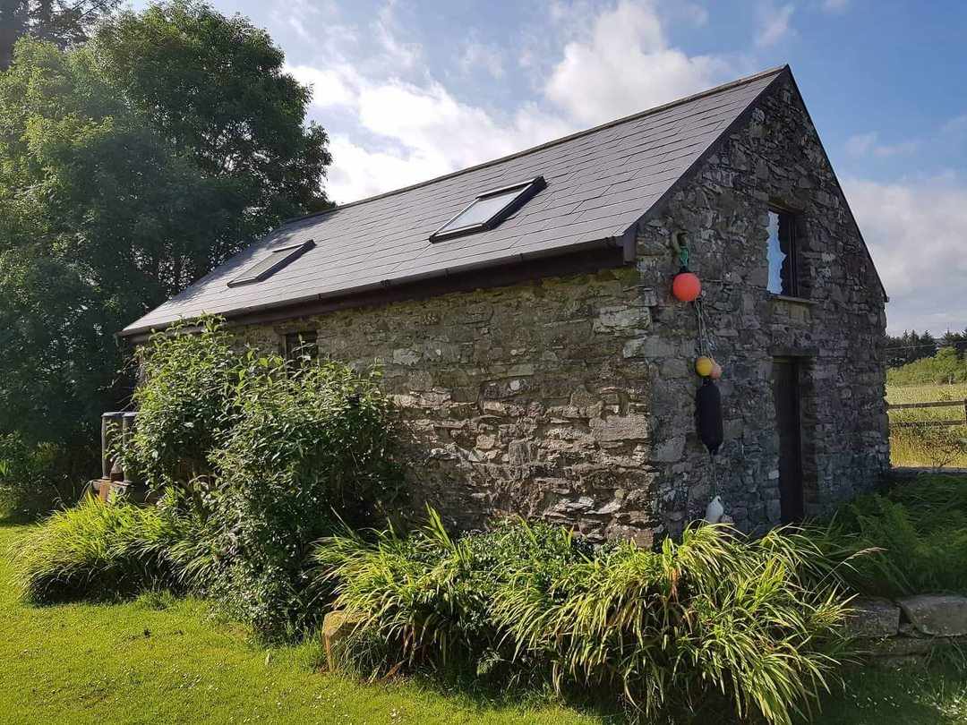 Embanked enclosureFairy fort / earthen ringfort · 1071 yd
 Carnagh West RingfortArchaeological place · 1179 yd
 Kilcommon ChurchChurch · 1748 yd
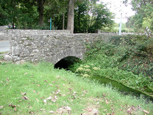 Historic buildingOfficially recorded historic building · 1.6 mi
 Kilmore BayBay · 2.0 mi
 InchihicleleyIslet · 2.1 mi
 InchmoreIslet · 2.1 mi
 Carrownure BayBay · 2.3 mi
 Rindown CastleCastle, Anglo-Norman masonry castle · 2.6 mi
 RindoonWood · 2.7 mi
 St. John's WoodWood · 3.0 mi
 CastleCastle, tower house · 3.1 mi
Other information
Photo: Credit not shown in the picture search · Rights wording not checked; contact us if this picture should be removed