What is recorded here
Marked on the Strafford map of c. 1636 at Crosreganen between Cronager and Tobberbridy (Simington 1949), and situated at the S end of N-S ridge. There is local knowledge of a circular stone structure which was removed many years ago. It is not visible at ground level.
Compiled by: Michael Moore
Date of upload: 24 August 2010
The monument record does not grant public access. Check the route and ask the landowner before entering private land.
- What survives
- Recorded monument
Places near here
 R. C. ChapelBuilding · 739 yd
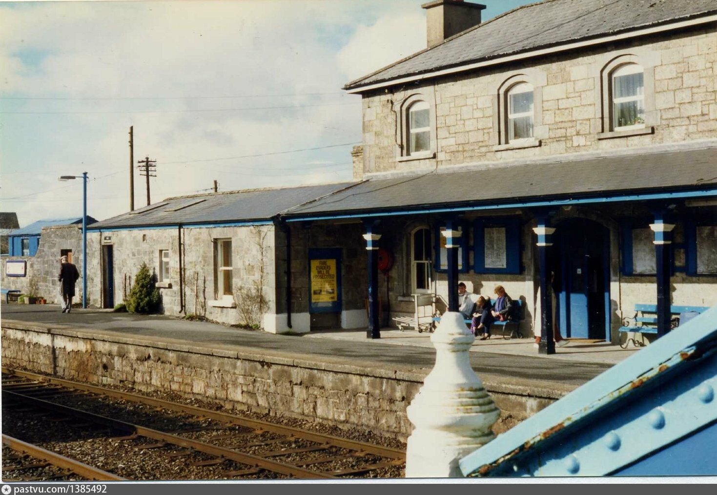 Penitential station in BrideswellPenitential station · 792 yd
 Embanked enclosureFairy fort / earthen ringfort · 1354 yd
 IndicatedFairy fort / stone ringfort · 1520 yd
 CastlesampsonCastle, tower house · 1.6 mi
 Curraghboy CastleCastle, unclassified · 1.9 mi
 Sheep HillMountain / peak · 3.5 mi
 Bally BayBay · 4.4 mi
 InchihicleleyIslet · 4.4 mi
 Hodson's BayBay · 4.5 mi
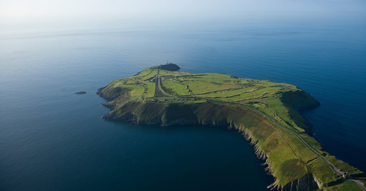 Sedgy IslandIslet · 4.5 mi
 LismoneyForest · 9.0 mi