What is recorded here
The Down Survey mapped a windmill near the Clontarf castle seashore in 1655, yet its exact position has vanished. It probably stood where the beach meets the road now, turning wooden arms in Atlantic wind while people watched ships pass. Forgetting the mill is easier than admitting we lost a visible marker of that coast.
The Down Survey (1655-6) maps show a windmill near the seashore south of Clontarf castle. The Civil survey (1654-6) also mentions this windmill. The exact location of this monument is unknown.
The monument record does not grant public access. Check the route and ask the landowner before entering private land.
- What survives
- Recorded monument
Places near here
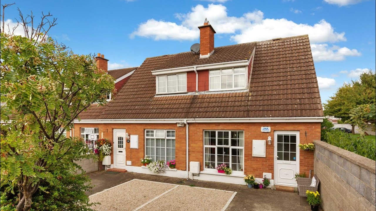 Bawn in Killester Demesne,killester North,killester SouthBawn · 1 yd
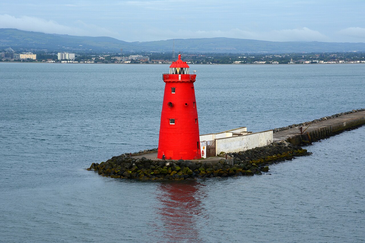 Poolbeg LighthouseLighthouse · 1215 yd
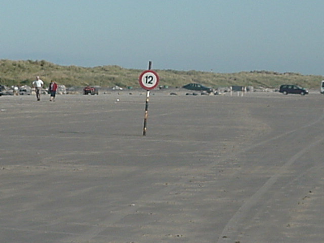 Dollymount StrandBeach / strand · 1.2 mi
 milestone/milepostmilestone/milepost · 1.3 mi
 Bull Wallbuilding misc · 1.5 mi
 Wych ElmWych Elm · 1.7 mi
 Rustic ArchesMonument · 1.8 mi
 Rockwork FeatureMonument · 1.8 mi
 Hermit's CaveMonument · 1.9 mi
 Bull Island Nature ReserveVisitor information · 1.9 mi
 Holm OakHolm Oak · 1.9 mi
 St Josephs Asylum for the BlindCastle, unclassified · 4.5 mi