What is recorded here
According to the terrier or commentary to the Down Survey (1656-8) parish map of Ballyvaloo and St. Margaret’s parishes George Cheever owned 77 acres at Ballinesker and what is described as a stone house (WX033-013----) and ‘something resembling a windmill’. The location of the windmill is not known. For the Down Survey parish map see this web-page accessed on 14 February, 2014: http://downsurvey.tcd.ie/down-survey-maps.php#bm=Ballaghgeene&c=Wexford&p=Ballevalloe+and+St+Margerets
Compiled by: Michael Moore
Date of upload: 4 September, 2012
Amended: 14 February, 2014
The monument record does not grant public access. Check the route and ask the landowner before entering private land.
- What survives
- Recorded monument
Places near here
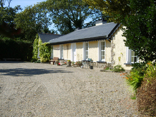 Seaview Cottagehouse · 97 yd
 Site of Ballinesker CastleHouse, 17th century · 198 yd
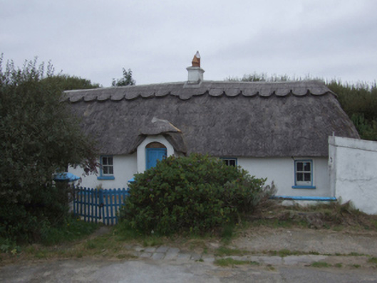 The Duneshouse · 364 yd
 Ballinesker BeachBeach / strand · 433 yd
 St. Margarets WellHoly well · 1400 yd
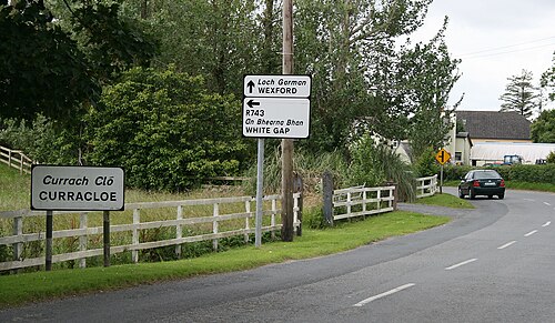 Curracloe BeachBeach / strand · 1.1 mi
 CastleCastle, unclassified · 1.3 mi
 71Mountain / peak · 2.3 mi
 Blackwater Coastal Erosion Monitoring PointViewpoint · 2.6 mi
 Raven Point Nature ReserveForest · 2.6 mi
 1798 MemorialMemorial · 2.6 mi
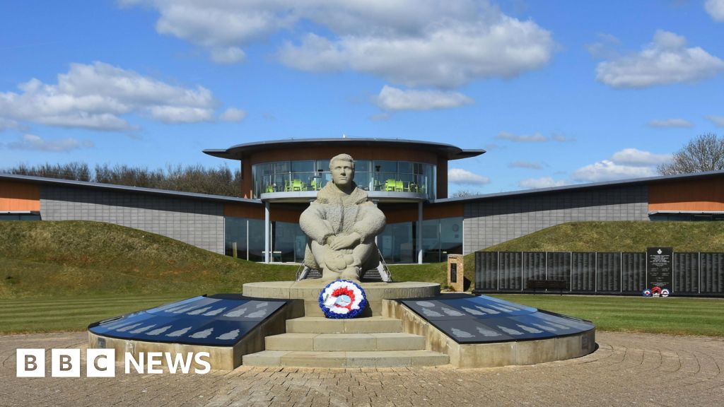 Memorial to The PomonaMemorial · 3.2 mi