What is recorded here
Marked on the 1839 ed. of the OS 6-inch map where it is described as a Windmill. It is situated towards the bottom of a S-facing slope of Forth Mountain. This is a cylindrical tower (ext. diam. 4.9m; int. diam. 3.05m; H c. 7m) of three storeys with opposing doorways at E and W surviving complete. There is a recess on the ground floor just S of the E doorway, and there are three windows on the upper floors. There is a storehouse c. 10m to the SE which has the date 1882 and the initials ‘PKM W’ carved on a stone in the N gable.
The above description is derived from the published 'Archaeological Inventory of County Wexford' (Dublin: Stationery Office, 1996). In certain instances the entries have been revised and updated in the light of recent research.
Compiled by: Michael Moore
Date of upload/revision: 27 May, 2013
The monument record does not grant public access. Check the route and ask the landowner before entering private land.
- What survives
- Recorded monument
Places near here
 mill (wind)mill (wind) · 1 yd
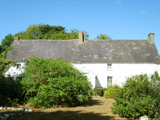 farm housefarm house · 878 yd
 CarrickadeeMountain / peak · 1.2 mi
 Forth MountainMountain / peak · 1.2 mi
 IndicatedCastle, unclassified · 1.4 mi
 Monumental structure in Shelmaliere Commons (shelburne By., Carrick Ed)Monumental structure · 1.4 miBattle of Three Rocksbattle · 1.4 mi
 St. Davins WellHoly well · 1.4 mi
 Castle (in ruinis)Castle, tower house · 1.4 mi
 Battle Of The Three RocksMemorial · 1.5 mi
 Douglas-firDouglas-fir · 1.7 mi
 Dawn RedwoodDawn Redwood · 1.7 mi