What is recorded here
Marked on the 1839 ed. of the OS 6 inch map where it is described as a windmill. It is situated on a wide embankment on the mainland at the W edge of the South Slob of Wexford harbour and on the E side of a quarry that is also marked on the 1839 ed. of the OS 6-inch map. This is a cylindrical tower overgrown with ivy. It appears to have three floors (ext. diam. 5.57m; int. diam. 3.78m; H c. 7m) and has opposed doorways at N and S, but there are no visible windows. It functioned as a wind-pump draining the quarries, but it pre-dated the Drinagh cement-works that produced Portland cement from 1880-1923 and used steam-powered pumps (Murphy 1976-7).
The above description is derived from the published 'Archaeological Inventory of County Wexford' (Dublin: Stationery Office, 1996). In certain instances the entries have been revised and updated in the light of recent research.
Compiled by: Michael Moore
Date of upload/revision: 27 May, 2013
The monument record does not grant public access. Check the route and ask the landowner before entering private land.
- What survives
- Recorded monument
Places near here
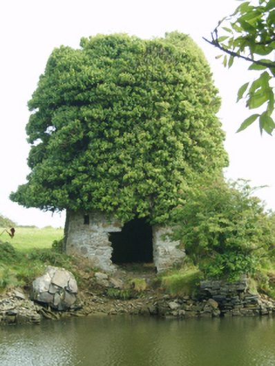 mill (wind)mill (wind) · 1 yd
 Drinagh Cement Workskiln · 230 yd
 Site of CastleCastle, unclassified · 498 yd
 Fulacht fia in StrandfieldFulacht fia · 1089 yd
 Hut site in RocksboroughHut site · 1459 yd
 Lock Out GateMemorial · 1.9 mi
 Sack of Wexfordsiege · 2.0 mi
 Siege of Wexfordsiege · 2.0 mi
 16th Irish DivisionMemorial · 2.1 mi
 Three Sisters River CruisesHeritage attraction · 2.4 mi
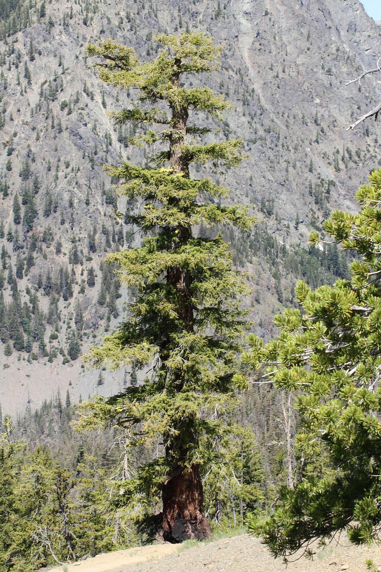 Douglas-firDouglas-fir · 2.5 mi
 American SweetgumAmerican Sweetgum · 2.5 mi