
What is recorded here
One hundred years young, the boy forgot the path home and fell beside the fort. He did not run or call for help. He watched the ridge hold its shape through rain and wind, then he joined that patience. The fort did not need a master because it had already become the hand that shapes visible things.
On a ridge in grassland. Oval rath (NNE-SSW 37m, WNW-ESE 30m), in fair condition, defined by a bank from S through W to NNE; elsewhere a scarp forms the enclosing element.
The above description is derived from the published 'Archaeological Inventory of County Galway Vol. II - North Galway'. Compiled by Olive Alcock, Kathy de hÓra and Paul Gosling (Dublin: Stationery Office, 1999).
Date of upload: 05 August 2010
The monument record does not grant public access. Check the route and ask the landowner before entering private land.
- What survives
- Recorded monument
Places near here
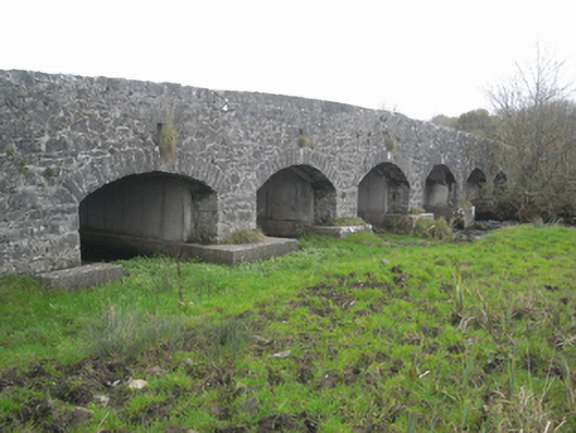 bridgebridge · 759 yd
 Enclosure in LowvilleEnclosure · 910 yd
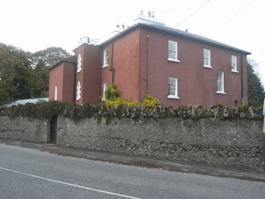 Milvertonhouse · 926 yd
 Site of ChurchChurch · 1043 yd
 SycamoreSycamore · 1.4 mi
 Sweet ChestnutSweet Chestnut · 1.5 mi
 Clonbrock CastleCastle, tower house · 1.7 mi
 Site of Doon CastleCastle, unclassified · 2.6 mi
 Clooncoran IslandIsland · 4.7 mi
 Kilconnell AbbeyHeritage attraction · 4.9 mi
 Inch IslandIsland · 5.5 mi
 Battle of Aughrim Interpretative CentreMuseum · 6.6 mi
Other information
Photo: Credit not shown in the picture search · Rights wording not checked; contact us if this picture should be removed