What is recorded here
Situated on a broad, low hill. It is marked on the 1839 ed. of the OS 6-inch map where it is described as a windmill. A mill at Ballyseskin was owned by George Chevers in 1640 (Simington 1943, 134, 163), but it is not known if it was a windmill. This is a cylindrical tower of three storeys (ext. diam. 4.7m; int. diam. 2.8m) with opposing doorways at E (Wth 0.67m; H 1.83m) and W (Wth 0.65m; H 1.79m), surviving complete to a height of c. 6.4m. A series of steps projects from the inner face of the wall at S, rising from inside the E doorway. The inner face of the wall is damaged, but the first floor, which had no openings, was supported on a ledge, and there are 3 slit windows on the second floor. The letters ‘I’ and ‘ID’ are incised on the S side of the W door frame, and the date 174 (?9) is inscribed on a stone over the E doorway. There are traces of an enclosure (diam. c. 25m) around it visible on aerial photograph (CUCAP: AVK 72). On the photograph it is defined by a single fosse-like feature, which may represent the channel created by a pole used to turn the cap.
The above description is derived from the published 'Archaeological Inventory of County Wexford' (Dublin: Stationery Office, 1996). In certain instances the entries have been revised and updated in the light of recent research.
Compiled by: Michael Moore
Date of upload/revision: 14 October, 2013
The monument record does not grant public access. Check the route and ask the landowner before entering private land.
- What survives
- Recorded monument
Places near here
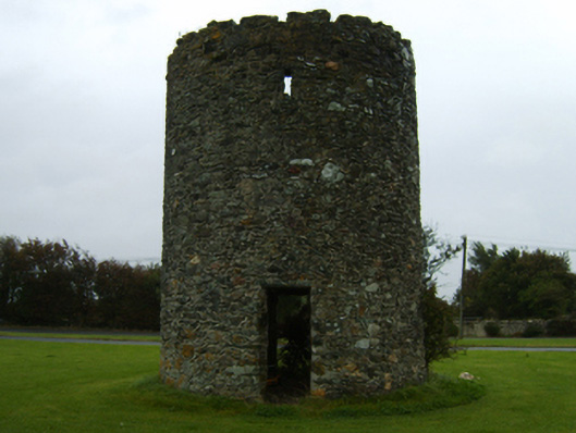 mill (wind)mill (wind) · 2 yd
 CastleCastle, unclassified · 968 yd
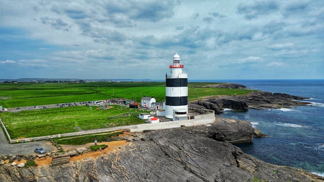 Embanked enclosureFairy fort / earthen ringfort · 969 yd
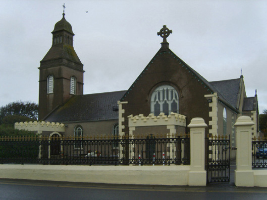 Catholic Church of the Blessed Virgin Mary, Saint Anne and Saint Josephchurch/chapel · 1212 yd
 Enclosure in Newtown (bargy By., Kilmore Ed)Enclosure · 1753 yd
 Castle (in ruins)Castle, tower house · 1.3 mi
 Ballyhealy BeachBeach / strand · 1.9 mi
 1798 Memorial PlaqueMemorial · 2.1 mi
 The Bull RockForest · 2.3 mi
 The Heron's MeadowForest · 2.4 mi
 The White Hole BeachBeach / strand · 2.6 mi
 Ivan Sutton Art ExhibitionGallery · 3.3 mi