
What is recorded here
Single-arch rubble stone hump back road bridge over river, c.1800. Random rubble and shale walls with rubble stone triangular cut-waters to north, and dressed limestone coping to parapets. Single round arch with dressed limestone voussoirs having chamfered reveals, and rubble stone soffits with render over. Sited spanning (Saint?) John’s River with random rubble stone retaining walls to river.
An attractive bridge of traditional construction that forms an important component of the streetscape, identified by the humped deck linking William Street with Lombard Street. The construction of the arch, which has retained its original profile, is of technical and engineering interest.
This does not grant access. Most recorded buildings are privately owned; view them only from public ground unless the owner allows entry.
Places near here
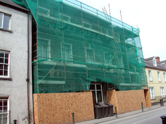 Young Women's Christian Associationhall · 44 yd
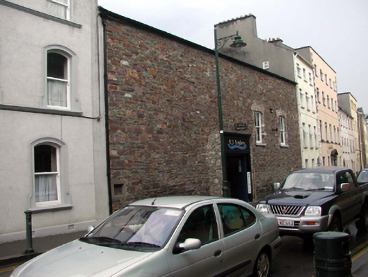 abattoirabattoir · 48 yd
 GOMA Gallery of Modern ArtGallery · 65 yd
 Malcomson's Shipping OfficeMemorial · 146 yd
 Reginald's TowerMuseum · 171 yd
 Blockhouse in Waterford CityBlockhouse · 172 yd
 Town defences in Waterford CityTown defences · 183 yd
 Viking TriangleVisitor information · 190 yd
 Stephen de FulburnMemorial · 211 yd
 Pedunculate OakPedunculate Oak · 243 yd
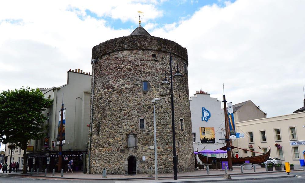 Semi-Lunar TowerCastle · 722 yd
 Granny CastleCastle, tower house · 2.8 mi
Other information
Photo: Lajmmoore · CC BY-SA 4.0