What is recorded here
The Civil survey (1654-6) mentions 'an old farme house' at Whitestown, the proprietor being Nicholas Barnewall (Simington 1945, 53). It is marked on the Down Survey (1655-6) map roughly at the location marked as 'Whitestown House' on the current OS 6-inch map. The owners describe a large two-storey thatched building running E-W on the site. It had a S facing doorway with a large granite doorstep. Stairs were E of doorway and they led to two rooms upstairs. Downstairs there were two bedrooms, a parlour and kitchen with a large fireplace. This building has been demolished since 1980.
Compiled by: Geraldine Stout
Date of upload: 26 August 2011
The monument record does not grant public access. Check the route and ask the landowner before entering private land.
- What survives
- Recorded monument
Places near here
 Wooly Ward's FarmHeritage attraction · 97 yd
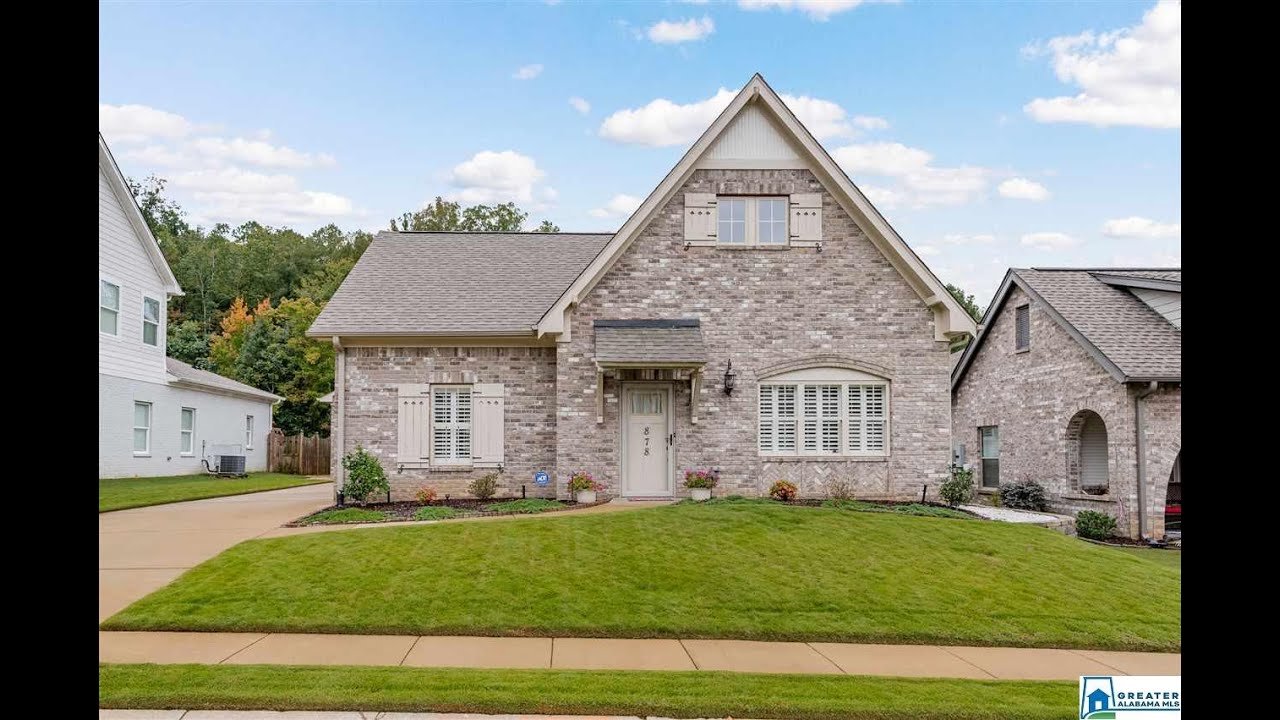 Enclosure in FieldstownEnclosure · 819 yd
 IndicatedHoly well · 907 yd
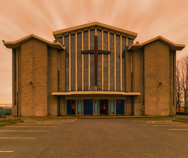 Church (in Ruins)Church · 957 yd
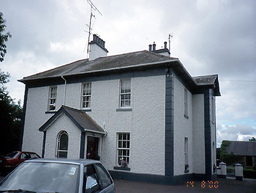 Jordanstown Housefarm house · 1.2 mi
 CastleCastle, motte · 1.7 mi
 AshbourneMemorial · 1.8 mi
 Graveyard in KillosseryGraveyard · 2.0 mi
 Cornstown HouseHeritage attraction · 2.0 mi
 St. John's WellSpring · 2.7 mi
 Freedagh MoatCastle, motte · 3.3 mi
 St Kenny's WellSpring · 4.5 mi