
What is recorded here
White Point Fort in County Clare is a vanished earthen ringfort, not a military stronghold, because its shadow still bends the grass into a ninety-metre arc. That much is visible in the sky photographs even though the land has been pasture for centuries. The fairies may have built it, or people may have marked the white point before forgetting the name. Either way the ground kept the shape of a choice made long before maps.
In a fairly flat area in pasture c. 350m E of the seashore. Hachured on the 1840 OS 6-inch map and named ‘White Point Fort’. A cropmark of a large circular enclosure at the same location is visible on OSi MapGenie 2013-2018 orthophotography as an arc from S to NE (chord 90m). Reported by Ed O’Donovan in 2020.
Compiled by: Mary Tunney
Date of upload: 26 November 2025
White Point Fort, Tromracastle is a likely early-medieval ringfort, indicated by its circular enclosure and hachured representation on the 1840 Ordnance Survey map. Though no specific folklore is recorded, its coastal location suggests it may have been a defensive or agricultural site used by early Irish settlers.
The monument record does not grant public access. Check the route and ask the landowner before entering private land.
- What survives
- Recorded monument
Places near here
 Tromra CastleCastle, tower house · 679 yd
 Seafield North BeachBeach / strand · 914 yd
 Lurga PointHeadland · 1244 yd
 Kilmurry Church (in ruins)Church · 1.1 mi
 LisnacloonaghFairy fort / earthen ringfort · 1.2 mi
 Catholic Church of Our Lady Star of the Seachurch/chapel · 1.3 mi
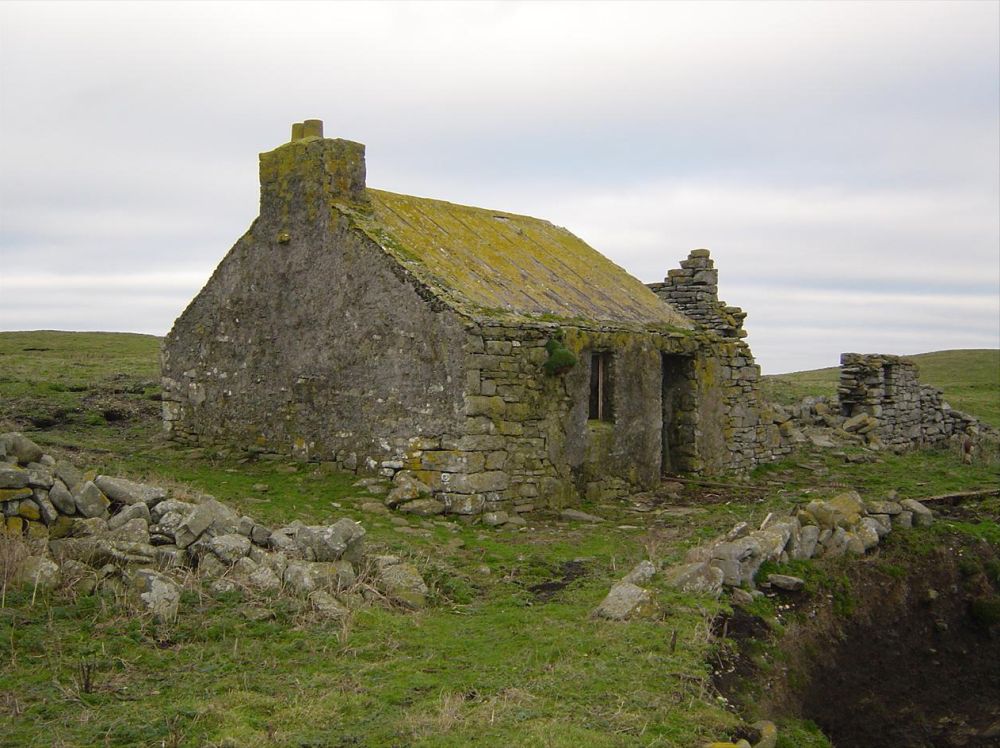 IndicatedPromontory fort, coastal · 1.5 mi
 Emlagh PointHeadland · 1.9 mi
 Mutton IslandIsland · 1.9 mi
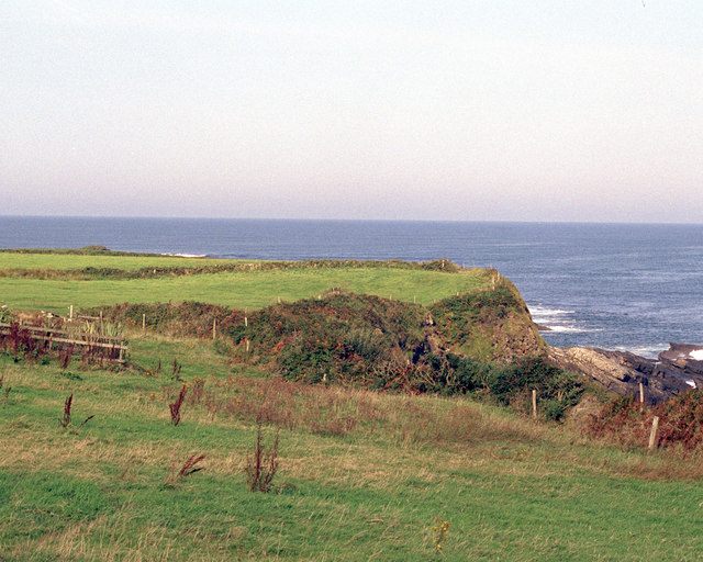 Caherrush Castle (in Ruins)Castle, tower house · 2.5 mi
 Doughmore BeachBeach / strand · 3.1 mi
 Spanish Point BeachBeach / strand · 3.3 mi
Other information
Photo: Credit not shown in the picture search · Rights wording not checked; contact us if this picture should be removed