What is recorded here
Scotland's National Record of the Historic Environment records White House as Coin (roman). The official map says its point is accurate as follows: NGR given to the nearest 100m. The record does not by itself mean that the public may enter the place.
The historic-place record does not grant public access. Check current conditions and ownership before entering land or a building.
Places near here
 Milliken DoocotDovecot (period Unassigned), Tower (period Unassigned) · 447 yd
.jpg?width=1280) Merchiston HospitalNo Class (event) (period Unassigned) · 607 yd
Merchiston HospitalNo Class (event) (period Unassigned) · 607 yd Brookfield, Bridge of Weir Road, Kilbarchan CemeteryCemetery (early 20th Century) · 919 yd
 Waterstone FarmFarmstead (19th Century) · 1211 yd
 Kilbarchan, Low Barholm, Weaving ShopHouse (20th Century), Weaving Mill (19th Century) · 1258 yd
 Kilbarchan, Steeple Square, East Parish ChurchBurial Ground (post Medieval), Church (18th Century) (1787) · 1463 yd
 War MemorialMemorial · 1473 yd
 Weaver's CottageMuseum · 1671 yd
 Penwold HouseCastle (medieval) · 1.0 mi
 Millennium Milepost Black Cart WaterVisitor information · 1.0 mi
 Johnstone CastleTower House (16th Century) · 1.3 mi
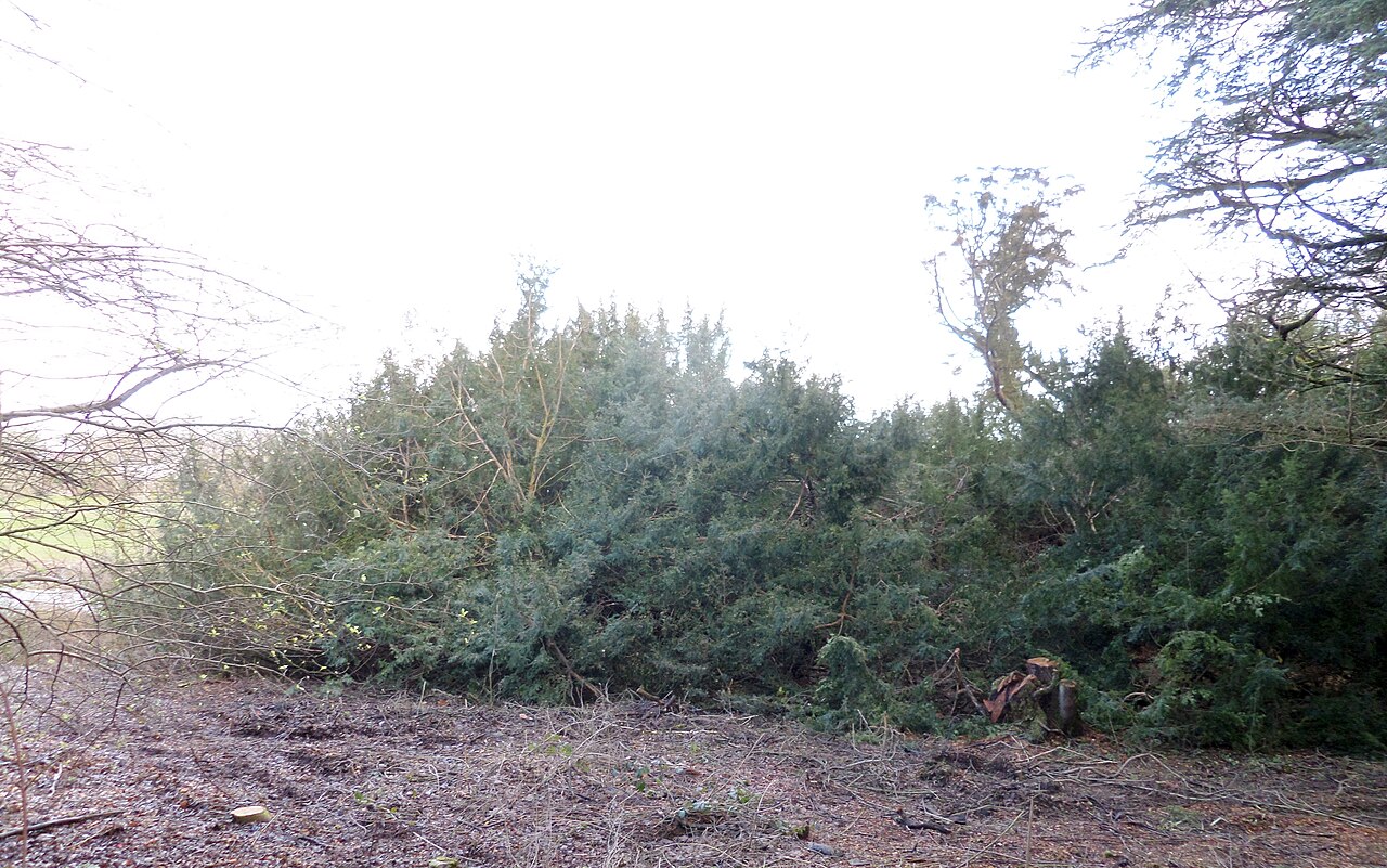 Craigends YewEuropean Yew · 1.5 mi