What is recorded here
Map note: Westerton Belt appears on the map as a wood near Pluscarden, Moray, Scotland. The map knows where the place is, even if the scenery is staying quiet.
From OpenStreetMap (© OpenStreetMap contributors) w544766214
Places near here
Photo credits
- Anne Burgess, Wikimedia Commons · CC BY-SA 2.0
- Stanley Howe, Wikimedia Commons · CC BY-SA 2.0
- Maker not stated on source page, www.pluscardenabbey.org
- Maker not stated on source page, www.pinterest.com
- Maker not stated on source page, www.livebreathescotland.com
- Ann Harrison, Wikimedia Commons · CC BY-SA 2.0
- Maker not stated on source page, www.flickr.com
- Maker not stated on source page, www.dreamstime.com
 RedavieFarmstead · 626 yd
 StoneyfieldFarmhouse, Farmstead · 662 yd
 Blackhill WoodWood · 1290 yd
 WhitetreeCairnfield · 1384 yd
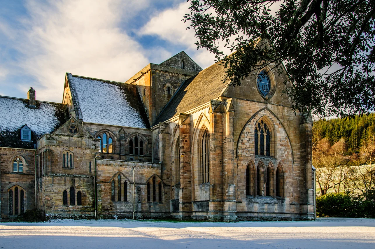 Pluscarden Abbey, Prior's LodgingMonastic Dwelling (16th Century) · 1402 yd
 Pluscarden Abbey, Free ChurchChurch (19th Century) - (20th Century) · 1406 yd
 Pluscarden Abbey, Corn MillGrain Mill, Watermill · 1408 ydPluscarden Abbey, MotteMotte (medieval) (possible) · 1411 yd
 Pluscarden AbbeyCarved Stone · 1416 ydPluscarden Abbey, Precinct WallWall (medieval) · 1430 yd
 Mapped graveyardGraveyard · 1538 yd
 Ww1 Memorial CairnMemorial · 1619 yd
More woods, forests and old trees in Moray · All of Moray

What do you know about this place?Tap to add a comment or ask a question