What is recorded here
On a terrace in rough pastureland sloping to the S, some outcropping limestone is visible. This well recently came to light when the landowner investigated a hollow in the ground. It is now surrounded by a recently built roughly oval-shaped rubble wall (av. Wth 0.7m; int. H 0.85m; ext. H 0.65-1m) capped with cement and is accessed by a step over style (Wth 0.6; H 0.4m) at W. The well itself is roughly funnel shaped. Its base (1.26m N-S; 0.76m av. dim. E-W) is 1.5m below ground level and it is lined with a randomly coursed drystone wall that fans outwards as it rises towards the surface (dims. at ground level 3.1m E-W; 1.55m N-S). Just inside the style, in the neck of the funnel (L 1.6m), the sides of which are straight, two rough steps lead down to the water. Traces of a relict field system (GA058-099002-) are visible c. 15m to the NNE.
The following images have been uploaded:
GA058-098----_01.jpg General view of well from W
GA058-098----_02.jpg View of wall lining well from W
GA058-098----_03.jpg View of wall lining well from N
GA058-098----_07.jpg Well from W
Compiled by: Olive Alcock
Date of upload: 29 November 2022
The monument record does not grant public access. Check the route and ask the landowner before entering private land.
- What survives
- Recorded monument
Places near here
 Enclosure in Stonepark (ballymoe By.)Enclosure · 99 yd
 Enclosure in AbbertEnclosure · 1044 yd
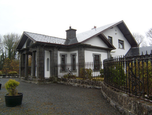 Ryehillgate lodge · 1.1 mi
 Church (in Ruins)Church · 1.2 mi
 CashlaundarraghCastle · 1.2 mi
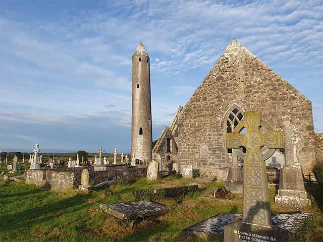 Killaclogher CastleCastle · 2.0 mi
 Knockmoy AbbeyHeritage attraction · 2.3 mi
 SycamoreSycamore · 3.3 mi
 Common WhitebeamCommon Whitebeam · 3.3 mi
 Menlough IRAMemorial · 5.5 mi
 Mass RockNamed rock · 12 mi
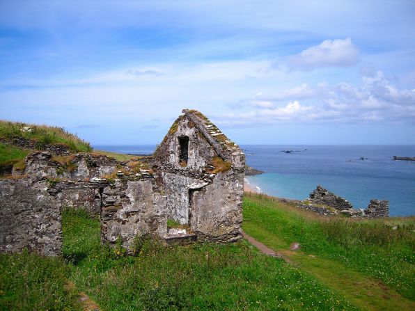 Settlement desertedSettlement deserted, medieval · 1.2 mi