
What is recorded here
In rough pastureland sloping to the S. Noted on current OSi aerial imagery (Digitalglobe 2011-2013), this subrectangular enclosure (c. 40m NE-SW; c. 29m ENE-WSE) is visible within a relict field system (GA058-099002-). It is defined by a collapsed and grassed-over stone spread (Wth c. 2.5m; H c. 0.5m). Field walls extending off it at NE, SE, SW and NW appear to be associated with the field system. A post and wire runs N-S immediately outside its W side. A possible cashel (GA058-099003-) lies c. 125m to the SW.
Compiled by: Olive Alcock
Date of upload: 29 November 2022
A local fairy fort (ringfort/rath); wider significance not recorded.
The monument record does not grant public access. Check the route and ask the landowner before entering private land.
- What survives
- Recorded monument
Places near here
 Enclosure in AbbertEnclosure · 1018 yd
 Church (in Ruins)Church · 1.1 mi
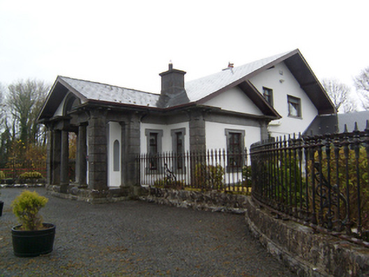 Ryehillgate lodge · 1.2 mi
 CashlaundarraghCastle · 1.2 mi
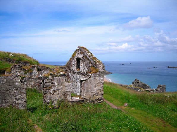 Settlement desertedSettlement deserted, medieval · 1.2 mi
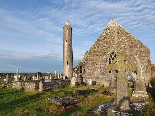 Killaclogher CastleCastle · 2.1 mi
 Knockmoy AbbeyHeritage attraction · 2.3 mi
 SycamoreSycamore · 3.3 mi
 Common WhitebeamCommon Whitebeam · 3.3 mi
 Menlough IRAMemorial · 5.5 mi
 Mass RockNamed rock · 12 mi
 Enclosure in FarmhillEnclosure · 1.4 mi
Other information
Photo: Credit not shown in the picture search · Rights wording not checked; contact us if this picture should be removed