What is recorded here
In 1998, archaeological monitoring (Licence no. 98E0030: www.excavations.ie) of groundworks associated with an extension to the rear of premises on South Main Street uncovered two distinct features of archaeological interest. One was a layer (Wth 0.56m; T 0.1-0.12m) of black, organic silt running along the northernmost edge of the development and into the adjacent property to the north. It lay directly upon the sterile subsoil. The second feature was a well situated in the central area of the extension. The structural integrity of the well was not endangered by the development, and it was covered over with slabs.
Compiled by: Gearóid Conroy
Date of upload: 10 June 2011
The monument record does not grant public access. Check the route and ask the landowner before entering private land.
- What survives
- Recorded monument
Places near here
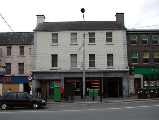 Naas Post Officehouse · 49 yd
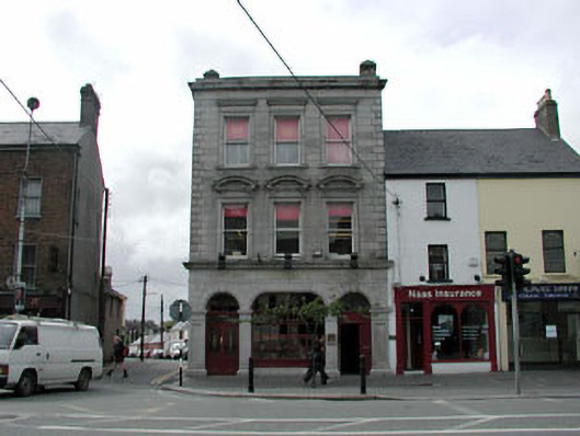 bank/financial institutionbank/financial institution · 52 yd
 Not indciatedTown defences · 99 yd
 CastleCastle, tower house · 109 yd
 Site of Black CastleCastle, unclassified · 181 yd
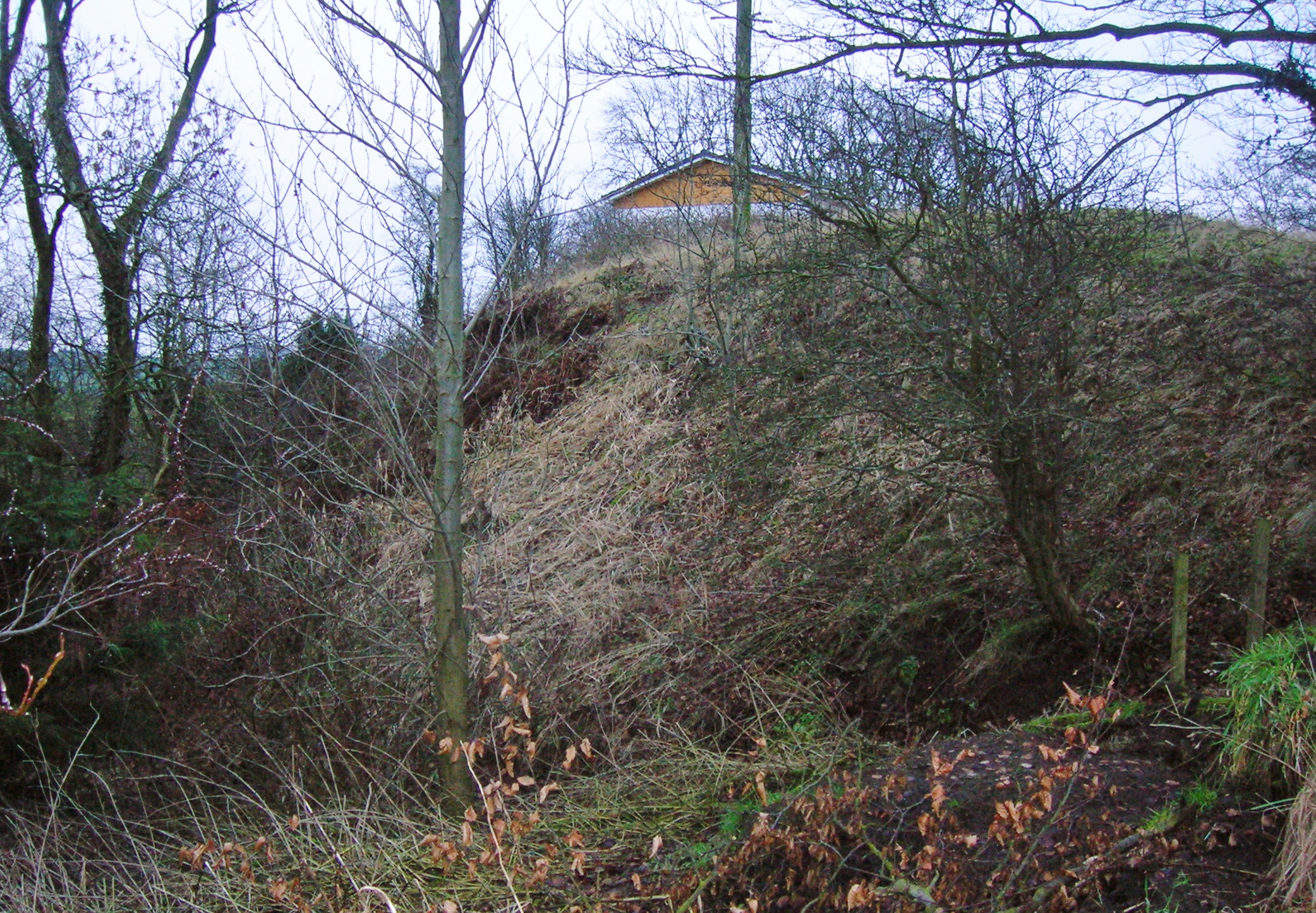 North MoteArchaeological place · 185 yd
 Poplar SquarePicnic place · 352 yd
 Monread District Park WoodsWood · 1.0 mi
 Naas ParkWood · 1.1 mi
 Museum of MotorsportMuseum · 4.2 mi
 Cupidstown HillMountain / peak · 7.0 mi
 Athgoe HillMountain / peak · 7.9 mi