What is recorded here
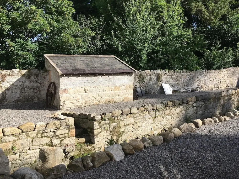
In upland terrain, on edge of a river valley, 10m NW of a stream running NW-SE, at the edge of a pathway through the wood. The well (1.2m x 0.55m; 0.5m D), roughly rectangular, appears like a stone trough, possibly cut out of the living rock. The well narrows slightly (0.44m Wth) towards the N end which possibly had a stone lintel. On the E side some stones have been built-up. The S side of the well has a cut channel to allow water to run into the river. The N end of the well is built into a fieldbank which is c. 2m H with some stone revetment above the well, this wall has been mortared.
Compiled by: Jean Farrelly
Date of revised upload: 3 November 2015
The monument record does not grant public access. Check the route and ask the landowner before entering private land.
- What survives
- Recorded monument
Places near here
 Hut site in Clashganny WestHut site · 1500 yd
 Enclosure in Clashganny WestEnclosure · 1562 yd
 Catholic Church of Our Lady of the Assumptionchurch/chapel · 1658 yd
 Church in Clashganny EastChurch · 1735 yd
 IndicatedBawn · 1.1 mi
 Bawn in FrehansBawn · 1.9 mi
 European long distance path E8 - part IrelandWalking route · 2.6 mi
 KnockmealMountain / peak · 2.9 mi
 KnocknanaskMountain / peak · 3.1 mi
 Kildanogue wildfowl sanctuary and nature reserveNature reserve · 3.8 mi
 Laeka WoodWood · 4.7 mi
 The VeeViewpoint · 5.6 mi