What is recorded here
Merrywell 1 is a straight-sided well in Knockmark parish, County Meath, whose blue-grey fill preserved waterlogged seeds, animal bones and a wooden bowl before the M3 motorway cut through the slope. The hazel beneath the pottery dates to 657-862 cal. AD, suggesting people drank, discarded or buried ordinary life there long before medieval ditches and post-medieval gullies marked the land around it.
Situated on a slight S-facing slope. Archaeological centre-line testing (04E0483) by T. O’Neill of Testing Area 21, Contract 1, prior to the construction of the M3 motorway and associated works (excavations.ie: 2004:1228) identified archaeological material, which was subsequently excavated (E003051) by A. O’Connell as Merrywell 1 in Knockmark parish between August and October 2005 (excavations.ie 2005:AD13). A medieval field system (ME044-068002-) defined by boundary ditches and gullies is associated with this well, but a prehistoric charcoal-making pit (ME044-068003-) is also within the excavated area.
The well (diam. c. 2.15m; D 1.5m) is straight-sided and flat-bottomed, and had two principal fills. The primary fill, a blue-grey silty clay, contained animal bones together with the waterlogged seeds of a wide range of brambles and weeds indicative of a mixed deciduous woodland with scrub. There were also insect and mollusc remains together with bird bones. Wooden dowels, a wooden lathe-turned bowl, and medieval pottery sherds of Dublin-type coarseware were in the basal layer, but the pottery must be intrusive as a sample of hazel from this fill produced a C14 date of 657-862 cal. AD. This was below a similar layer (T 0.65m) with rounded stones and some charcoal flecks that contained similar pottery but also had a wooden yoke. The layer above this (T 0.72m) is a grey silty clay with stones which spills into a boundary ditch (Wth c. 2.6m; D c. 1.2m) that extends off to the SE, accompanied by a slighter, post-medieval gully (Wth 1.65m; D 0.38m) 3m to the SW. Further S a similar post-medieval gully diverges from the medieval ditch on the E side, the gap widening as it proceeds S. (O'Connell and Ginn 2009)
Compiled by: Michael Moore
Date of upload: 10 December 2021
O’Connell & V. Ginn 2009 M3 Clonee - North of Kells, Contract 1 Clonee – Dunshaughlin. Final Report on the Archaeological Excavation of Merrywell 1, Co. Meath. Licence: E003051. Unpublished report, Archaeological Consultancy Services
O’Neill, T. 2004 M3 Clonee – North of Kells, Contract 1, Report on Archaeological Assessment at Testing Area 21, Merrywell, County Meath. Licence: 04E0483. Unpublished report, Archaeological Consultancy Services
The monument record does not grant public access. Check the route and ask the landowner before entering private land.
- What survives
- Recorded monument
Places near here
 Ribstown fortFairy fort / earthen ringfort · 788 yd
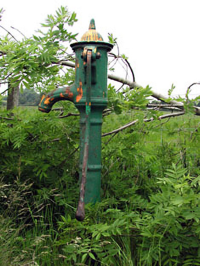 water pumpwater pump · 990 yd
 Font in KnockmarkFont · 1188 yd
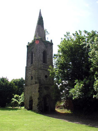 Knockmark Churchchurch/chapel · 1198 yd
 CastleCastle, motte · 1.3 mi
 Killeen CastleCastle, tower house · 2.4 mi
 Dunsany WoodWood · 2.5 mi
 Laurel WoodsWood · 2.9 mi
 Lismahon 1798 MemorialMonument · 3.3 mi
 MullaghMountain / peak · 3.5 mi
 1798 MemorialMemorial · 3.7 mi
 Larchil Arcadian GardensHeritage attraction · 4.9 mi